Share
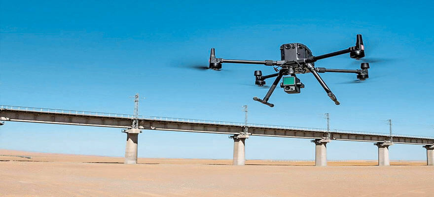
SimActive announces an enhanced software workflow for DJI users operating their new L1 LiDAR systems. It allows the validation of LiDAR point cloud accuracy, the transfer of photo identifiable control from LiDAR to imagery, and the colorization of LiDAR with color balanced mosaics. Vertical Aspect, a company based in Texas bringing 30 years of experience in rotary flight and survey operations, is one such user. In conjunction with their DJI L1 LiDAR system, SimActive Correlator3D software enhances the data captured allowing it to create robust deliverables, while minimizing field work and processing time per project for their topographical surveys. www.simactive.com


