Share
Most of us wouldn’t dream of buying food in a supermarket without at least considering the ‘best before’ and ‘use by’ dates. So why should we be expected to use maps or geospatial data when we know so little about their sources and overall quality? It’s all a matter of risk says Seppe Cassettari
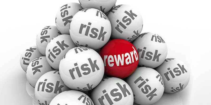
One of the interesting things about the COVID-19 pandemic is our behavioural response to risk. Some of us have become more risk averse, cocooning our lives within strict physical parameters, while others are more casual about risk to the point where they may negatively impact on those around them.
But how we perceive risk is, as always, more nuanced than at first appears. At an individual level, our appetite for risk varies depending on our perceptions, experiences and what we think we know.
When the concern over blood clots associated with vaccination was at its height, I was struck by the reported ‘fact’ that you were more likely to die in a car accident than from a vaccine-induced blood clot. I have no idea if that is true or not, but it did not stop people using their cars. Driving has become an acceptable risk … one we live with each day and, I suspect, rarely if ever question.
Craving certainty
For most of us, how we respond to a particular risk will depend on the information we absorb. For most of the time we rely on the media presenting us with statistics or ‘facts’ and we make a judgement on fairly limited inputs. We tend to accept statistical evidence as giving us a black/white, yes/no option but it is never that simple. While we crave certainty, the only thing of which we can be certain is the uncertainty of information.
But being presented with more information and a discussion about its accuracy or otherwise is part of being able to understand its value and how we should use it.
That leads me to the point here. Geographic data like all other data is never absolute in its accuracy, its completeness, its consistency and its currency. The quality of geographic data, like all other data is inherently uncertain.
That is not to say that those collecting, refining and presenting geographic data are not doing the very best they can to ensure the very best accuracy is achieved, at least within the budgetary and time constraints placed on its creation. But no data can be one hundred percent complete - that is the nature of data. We sample, we generalize, we aggregate, we do all sorts of things to the data to make it usable. That is a given and it won’t change.
Recognising limitations
However, anyone using geographic data should be thinking about its quality and how its limitations may impact on the way it is used. What risks are inherent in the data being applied in particular circumstances for particular problems and how that data impacts on the quality of an analysis or solution that is then used to inform decision making.
It is often quite difficult to get hold of proper quality measures for data sets that come from primary gatherers. When was a particular data point collected? What source or techniques were used? How accurate is the data in terms of position or classification? Is the data set complete?
Then it is all but impossible to get proper quality measures for composite datasets created from multiple sources. It is hard to work out what the quality is, so generally we don’t bother.
Seeking consistency
There was an initiative back in the 1990s to add metadata information to all geospatial data. We subsequently created standards to ensure that data is at least consistent in its quality. Without consistency there is very little we can do to assess how best to use a dataset.
But how well are the standards followed? I’m sure many who generate data of one sort or another have only limited awareness of the current data standards and far less appreciation of how to apply them and advise their users of the implications.
There is discussion about the need for ‘end-to-end’ metadata tags giving data a ‘full life’ quality catalogue that goes everywhere a dataset goes. But how often do you see any quality ‘warnings’ on published maps? I’d venture to say never.
At a time of heightened appreciation that all decision-making involves some level of risk and the desire for not just more but better information, now is surely the time for the geospatial industry to address this issue.
Dr. Seppe Cassettari is a GIS professional, with more than 25 years’ experience in developing and applying geospatial technologies in the public, private and educational sectors. He was most recently CEO of The Geoinformation Group (now Verisk’s Geomni UK business)


