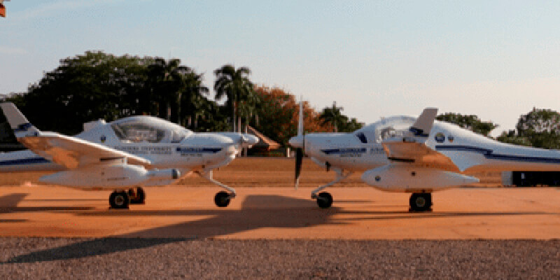
Airborne Research Australia (ARA), under the scientific leadership of Dr. Jorg Hacker, is committed to providing the Australian government – as well as affected farmers and firefighters – with a publicly available collection of data from the areas around Adelaide and on Kangaroo Island destroyed by the forest fires of December 2019 and January 2020. The well-founded scientific data, which are recorded with a RIEGL LMS-Q680i-S Airborne Laser Scanner and continuously updated by repeated flights, provide information about the extent of the destruction. But they also show where and how nature is recovering from the catastrophe. This enables those responsible for restoring habitats and economic zones to make their decisions more easily and on a scientific basis. www.riegl.com


