Share
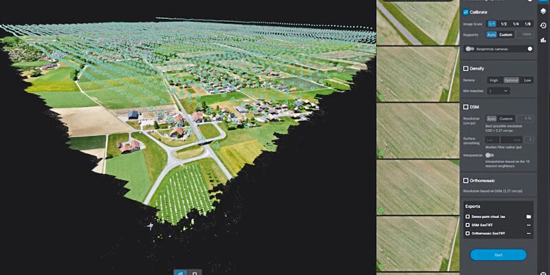
Pix4Dmatic has been created to suit an evolving demand as professionals map bigger and bigger areas around the world. Projects that would have previously been mapped by aircraft are now being surveyed with drones. With Pix4Dmatic, these expert projects are made possible and easier. Drone flights beyond the visual line of sight (BVLOS), when permitted by law, are often considered the next frontier of drone mapping. Pix4Dmatic now offers support also for the large datasets resulting from multiple flights by easily processing over 10,000 images without compromising the results’ accuracy. This software will potentially open the door to a new era of drone mapping. Digital photogrammetry has become an essential part of every modern surveyors’ toolkit and has inspired hundreds of new drone mapping businesses around the world. Pix4Dmatic is now unlocking another scale in digital photogrammetry by making the processing faster and the experience more intuitive. www.pix4d.com


