Share
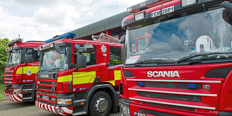
Northamptonshire Fire and Rescue Service (NFRS) is the latest fire service to select a Geographic Information System (GIS) for understanding and resourcing to risk. Cadcorp SIS Desktop, Cadcorp Workload Modeller, and Cadcorp Risk Modeller, were procured along with training, support, and related services. Risk Modeller is specifically designed for locating, assessing, and analysing risk coverage and will assist NFRS in producing their Integrated Risk Management Plans (IRMP). The software will be used to create risk maps based on historical data, projected data, and demographics as well as changes to population distribution and transport links. It will test the impact of various risk factors and assist the fire service in both evaluating progress and planning its future direction. www.cadcorp.com


