Share
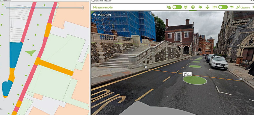
The London Borough of Harrow has added high definition street-level imagery and LiDAR data to its Esri UK corporate GIS system, giving staff access to a highly accurate digital twin of the borough. Part of Harrow’s strategy to explore new digital approaches and advance its digital twin agenda, the move is designed to improve the efficiency of various tasks in planning, highways and Council Tax and reduce the overall need for physical site visits. Provided by Esri UK partner Cyclomedia, the new imagery and associated LiDAR data provides a full 3D digital representation of the environment and can be viewed simultaneously alongside other geospatial data within the Esri GIS, such as street furniture, council tax records, planning applications and Ordnance Survey data. www.esriuk.com


