Share
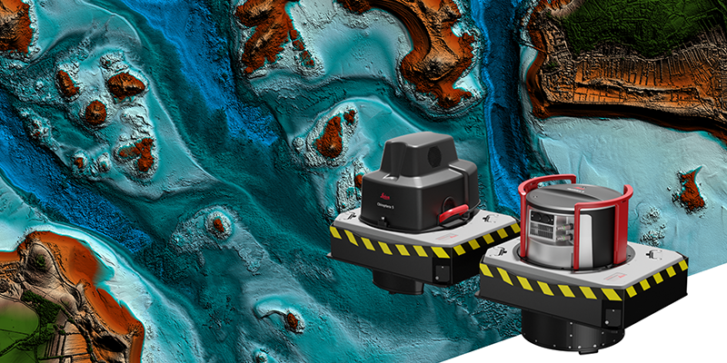
Leica Geosystems, part of Hexagon, announced the release of the Leica HawkEye-5, the new highly efficient airborne bathymetric LiDAR solution for deep water surveying. The upgraded technology increases survey efficiency by up to 25% compared to previous generations. The LeicaHawkEye-5 expands the capabilities of the Leica Chiroptera-5 bathymetric LiDAR system, enhancing the productivity of applications such as nautical charting, environmental monitoring, and maritime surveillance in deep waters. The HawkEye-5 is designed to fit the Leica PAV100 gyro-stabilised mount, which isolates the sensor from unwanted aircraft movements, resulting in consistent data density and more efficient area coverage. Greater flight efficiency leads to faster data collection and minimises the operational costs and environmental impact of each mapping project. www.leica-geosystems.com


