Share
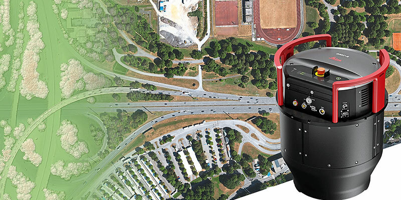
Leica Geosystems, part of Hexagon, announced the introduction of the Leica DMC-4, a highly efficient airborne imaging sensor providing unsurpassed image quality for various applications and complex mapping environments. The new system continues Leica Geosystems’ tradition of combining industry-leading optics with precision mechanics to deliver the highest mapping performance. The sensor provides superior image fidelity by leveraging the CMOS-based Leica MFC150 camera module with Leica Geosystems’ unique mechanical forward-motion-compensation (FMC). The production-proven technology extensively used in Hexagon’s Content Program has already surveyed 1.2 million square kilometres and delivers crisp, full radiometry at faster aircraft speeds across various operating conditions. www.leica-geosystems.com


