Share
Gamification may have fallen out of favour, but there are still exciting new applications that use games technology to make geospatial data accessible to all, says Alistair Maclenan
In however many years it has been that I have been writing this column, it is gratifying to learn that I may not have always been completely wrong!
Within the pages of the August 2018 issue of GeoConnexion International, I explained how the Epic Games’ business model should be an object lesson for all geospatial companies and in other writings, I have wondered if Epic’s Unreal Engine – the powerful 3D rendering core of games such as Fortnite – and other gaming technology might be the perfect medium to present real-world geospatial applications.
Go back even further to October 2015, and you can reread my exploration of how LiDAR was being developed to provide automated cars with hyper-accurate models with which to avoid each other or anything else.
Well, these two technologies have recently collided to provide a new service within the… film location industry.
Not a classic geospatial application I grant you, but for me that makes this story even more interesting for not being so.
Aerial surveying and visual effects company Visualskies is to provide a service that enables location scouts – people tasked with finding just the right spot on the planet to film the next deodorant commercial or Hollywood blockbuster – to explore hundreds of possible settings on their iPads.
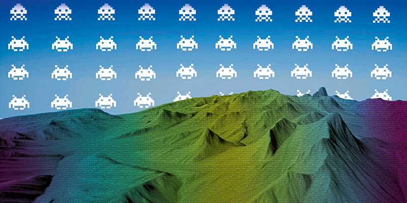
The Visualskies team takes satellite imagery, LiDAR, terrain models and photogrammetric imagery from the land and air and plugs it all into the Unreal Engine.
In turn, this enables the customer to explore a 360º immersive and accurate model of the site and further, because of the remarkably wide feature-set in the Unreal Engine, budding Martin Scorseses can even change the ambient lighting to reflect the time of day, or place sets and lighting of their own to test camera shots.
In these days of restricted travel, it is a geospatial application designed of and for its time.
So, is this a trailblazer for the more prosaic geo-applications? Can traditional geo-companies take advantage of this powerful and free-to-use virtual environment?
During my research – please tell me you’re not surprised I research these articles! – I found Demenzun Media. Ironically, you would be hard pressed to do the same for real, given that their website says the company’s address is “BC Canada, Way Up North”.
Shyness aside, Demenzun has created a piece of software called TerreSculptor, which appears, judging by the company’s social media numbers, not to be a well-known product. Since I think it should be, I hope this article helps.
TerreSculptor was born out of “the desire to create a powerful 3D application that rivalled all existing terrain heightmap software”. The alpha version was released in 2012 and eight years later, TerreSculptor 2.0 enables you to import Esri ASC, USGS BIL, GridFloat FLT, SRTM HGT and GeoTiff digital elevation models easily and quickly into the Unreal Engine, with some pretty nifty handling of voids.
And it does it for free.
I have no idea why such a useful and powerful software tool is free but it is, so why wouldn’t you avert your eyes from that horse’s dentistry and start presenting your products in a medium that is familiar and non-threatening to a host of new prospective customers?
‘Gamification’ has fallen out of the favour since its heyday of a few years ago – for many reasons I understand and agree with – but I believe that it might just do for the geospatial industry what the smartphone did for GPS: make a wildly complicated application accessible and useful to most people.
Alistair Maclenan is founder of the geospatial B2B marketing agency Quarry One Eleven (www.quarry-one-eleven.com)


