Share
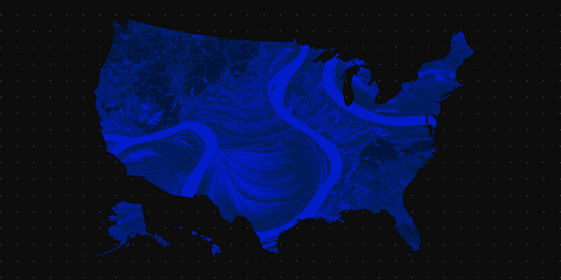
Fathom, a global provider of water risk intelligence, has released a new US Flood Map; a cutting-edge tool that provides the most comprehensive climate-driven flood risk information for the United States. Responding to the inconsistent and incomplete coverage of existing datasets, the US Flood Map leverages the latest observation, terrain and climate information to present a consistent view of flood risk for all major flood perils, climate scenarios and time horizons. Thanks to its team of scientists, Fathom’s US Flood Map offers the most advanced hazard and risk information for the country, at 10m resolution. Fathom’s US Flood Map empowers engineers, climatologists, GIS professionals, asset owners and operators to make swifter, more informed decisions for their projects at pace and with confidence, using this comprehensive resource. www.fathom.global


