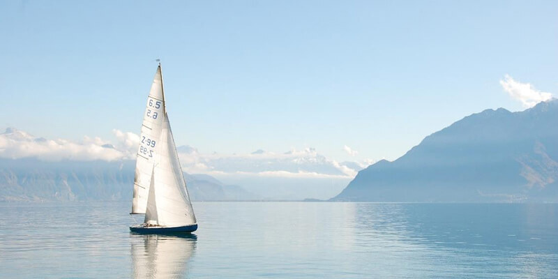
To support conservation in the UK’s Marine Protected Areas (MPAs). the Marine Management Organisation (MMO) has commissioned ABPmer to map recreational activities in those areas most at risk. The work will add to prior studies by identifying the timeframes, locations and intensities of each activity and is expected to be completed in March this year. Maps will be compiled for each activity, such as mooring, anchoring and launching, as will information on their intensity and temporal distribution. Chris Jackson, ABPmer’s Data and GIS Solutions business manager said: “Delivering comprehensive activity information will ensure the MMO has the best evidence on which to base MPA management decisions. We will begin by collating available spatial data to help identify what we know and don’t know. This will be validated by stakeholders who will also be asked to help fill gaps on understanding activity levels over time.” www.abpmer.co.uk


