Share
Mark Poveda feels that the time is right to address some of the concerns that surround this evolving technology
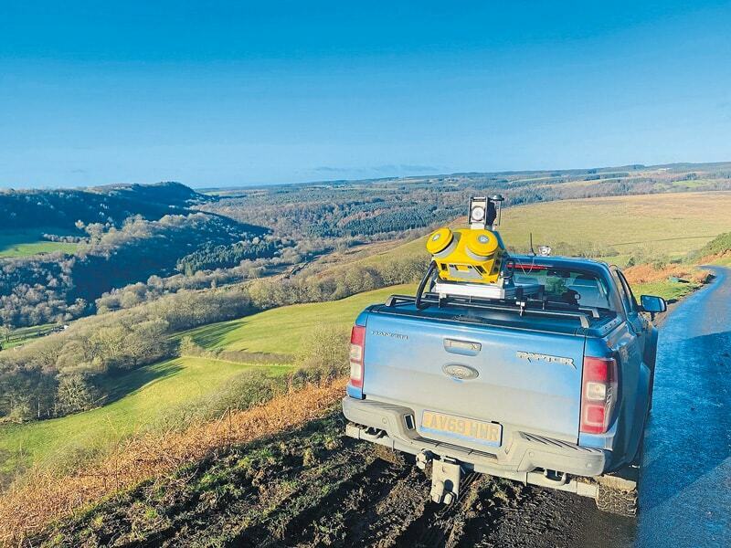
Now a recognised and accepted technology and an important part of National Highway’s digital strategy, mobile mapping users are reporting a far quicker ROI, sometimes after just 1000km of data collection and post-processing. Here at KOREC we’ve been involved in mobile mapping since the very earliest days of video surveying and seen the market grow. Perhaps understandably, we’ve also come across the barriers to adoption.
System investment and ROI
There is no doubt that mobile mapping is becoming more mainstream and it’s not unusual to find organisations dipping their toe in the water through an approach such as KOREC’s Professional Services, which works with you as a partner, collecting and processing your point cloud. However, we’re also seeing customers purchasing their own systems based on a strong case for ROI. This can be attributed to three factors:
- The variety of systems on the market is increasing, allowing for a far better fit between customer and application. These range from entry level such as Trimble’s MX7 to more advanced systems such as the Trimble MX50.
- The cost of systems is roughly half that of several years ago thanks to advances in the technology.
- The increased demand for fast, easy, accurate data capture means we don’t always have a skilled workforce available to conduct big surveys. This has been a massive driver for those investing in mobile mapping systems. The demand for their work – and lack of an alternative methodology - makes a clear-cut business case for mobile mapping. We’re also seeing customers getting a far quicker ROI, sometimes after just 1000km of data collection and post-processing!
Too much data to manage?
Step forward the cloud! Data can be stored, shared and viewed via a cloud-based portal, such as KOREC’s K-Portal, which can securely handle the large, dense point clouds generated by any manufacturer’s mobile mapping system. It allows all stakeholders to work from a single source of truth, all held in one place, and accessible from anywhere with internet access.
Ease of use
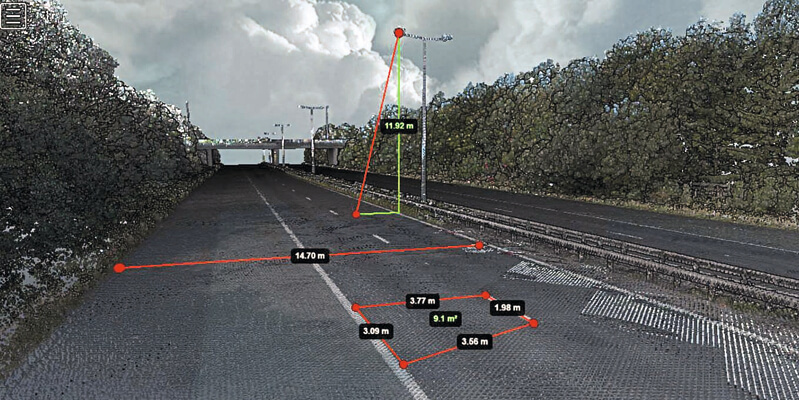
In terms of actually setting up and using a mobile system, most are now extremely easy to install and come with intuitive browser-based operation. However, a certain amount of concern from our customers is levelled at how long it will take them to extract the assets they need from the point cloud. Previously this was generally done visually by inspecting the video; now it is easy to run automated extraction routines e.g., (all lampposts or all road white lines) to immediately populate their database.
In conclusion, we’re now seeing mobile mapping utilised on the largest and the smallest projects. Demand has increased as it has become a recognised and accepted technology. In my opinion, there’s never been a better time to invest in mobile mapping for your business.
Mark Poveda is Group Commercial Director of KOREC Group (www.korecgroup.com)


