Share
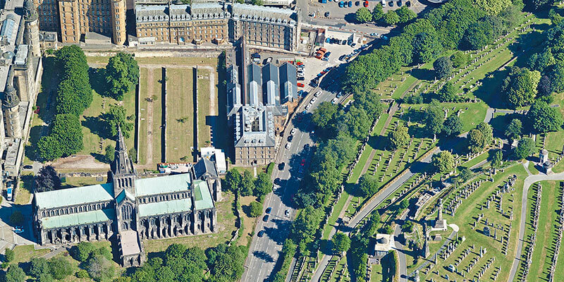
Aerial mapping company Bluesky International, is using one of the world’s most advanced hybrid sensors to expand its library of high-definition oblique photographs of UK cities to reveal more detail than ever before of building facades and street level furniture, providing a 360-degree view of buildings, structures, or sites. With 20 cities already acquired Bluesky plans to expand this further in the second half of 2022, including Irish cities like Dublin and Belfast and the UK cities of Leeds and Sheffield. The cities have been captured using a Leica CityMapper camera, which as well as capturing oblique images, also simultaneously captures vertical images and LiDAR. The oblique imagery is a valuable tool for an increasing number of applications such as insurance risk assessment, asset management for utilities and telecommunications plus environment and urban planning. www.bluesky-world.com


