Share
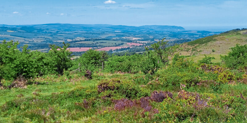
Aerial mapping company Bluesky International is using state of the art, aircraft mounted lasers to create a 3D model of the Quantock Hills in Somerset. As England’s first Area of Outstanding Natural Beauty the Quantock Hills has a distinctive character with exceptional beauty and cultural heritage. Commissioned by the Quantock Landscape Partnership Scheme, the high precision terrain mapping project will improve the understanding how people have lived and worked in the area for thousands of years. A 5 year £2.6 million programme the Quantock Landscape Partnership Scheme (QLPS) was created to conserve and celebrate the landscape of the area. Significantly funded by the National Lottery Heritage Fund it is led by the Quantock Hills Area of Outstanding Natural Beauty (AONB) which is in turn hosted by Somerset County Council. www.bluesky-world.com


