Share
Against a backdrop of omnipresent natural and man-made threats, Steve Tongish makes the case for data sharing between utility providers – not just to counter the unexpected, but to pave the way for smart grids of tomorrow
Utility companies are increasingly accepting the need to move from competitive secrecy to cross-sector collaboration in the face of new environmental threats and market opportunities.
With utilities recognised as key strands of Critical National Infrastructure (CNI), many governments demand and enforce common standards of safety and security across all operators. For example, the UK and other nations1 are planning to enforce a common standard of resilience2 across all utilities.
The EU’s NIS 2 Directive3 requires operators take measures to protect infrastructure against external threats. Resilience to cross-sector threats from cyber attacks to extreme weather events will require greater cross-sector cooperation including data sharing among competitors.
Better together
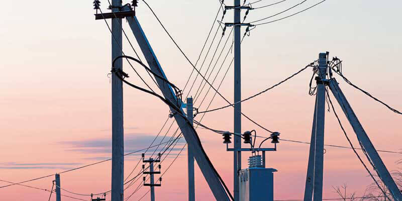
The combination of cyber-attacks on multiple smart grids as well as the collective failure of Texas’s utilities during a recent winter freeze demonstrates that a threat to one company or sector is increasingly a threat to them all. However, this also means that utility data from one company could have wider implications and help address common problems. The intelligent use of geospatial data can also help to ensure that the entire utility sector grows collectively stronger and smarter from climate change-related hazards or disasters.
At the same time, Environmental and Social Governance (ESG) commitments are also becoming increasingly critical to the utilities sector, often requiring cooperation with others. Management of environmental risks from extreme weather events to decarbonisation policies is creating a growing need for collective responses. Cross-sector data sharing could inform smarter decarbonisation efforts or common disaster resilience strategies.
Cooperation between and among organisations can also exploit common opportunities such as creating complementary utility grid infrastructure to reach under-served areas and tap into new markets. Combined underground utility maps could help create smarter, joined-up infrastructure planning and reduce the cost of digs and damage to other infrastructure when laying new pipes.
Signs of change
There are now signs of this happening. One Japanese utility provider is collecting smart geospatial data from local field teams, thereby to proactively identify damage or degradation in the network and share this with other companies. Again in Japan, cross-sector geospatial data is being integrated to inform a national disaster prevention strategy.
Similarly, London is working with utility companies to create a combined on-demand digital map4 of its subterranean pipes and cables where workers can visualise the nearby underground infrastructure on smartphones before starting a dig.
The key is to harness accurate and accessible geospatial systems with open APIs that allow data to be seamlessly and securely exported and updated. This requires the digitalisation, decentralisation and integration of previously centralised, siloed geospatial data so that common threats or opportunities can be easily identified and shared.
For example, data from ground or helicopter field inspection teams revealing vegetation encroachment on power lines could be rapidly integrated into network geospatial information systems and shared with other utilities to show how vegetation could disrupt multiple networks.
Achieving consistency
Utility data will need to be of consistent quality across the sector, which will mean all utilities need to adopt open, mobile-friendly, and vendor-neutral geospatial systems capable of amalgamating data from all sources and making it remotely accessible.
Rich, real-time data drawing on abundant sources from field worker smartphones to sensors could be integrated across departments to give everyone from central office to call centre staff an overview of national network performance. This geospatial data could be shared across companies to inform cross-sector resilience strategies, or fuel the smart joined-up planning of new utilities that work together as a cohesive, complementary ‘system of systems.’
Fuelling grids of the future
A recent report from GlobalData5 highlights how the ever-increasing deployment of smart devices and technologies within smart energy grids is creating an exponentially growing pool of utility big data. If integrated across departments or even sectors and combined with geospatial information that provide situational context, this data could form a rich resource with which to fuel smarter, more resilient grids, identify common threats or opportunities, and drive smarter infrastructure planning.
Attaining this goal will necessitate a new and more open approach to utility data … one that helps the industry derive collective commercial value from its data resources. While this may sound like a distant dream, we can see a new wave of data sharing starting to grow.
The most innovative telecoms and utility operators recognise the benefits of data sharing and are moving away from specialist and proprietary systems to open geospatial architectures that will help meet the future challenges they face.
References
1. https://ec.europa.eu/clima/sit...
2. https://utilityweek.co.uk/gove...;
3. https://digital-strategy.ec.eu...
4. https://www.london.gov.uk/pres...;
5. https://store.globaldata.com/r...
Steve Tongish is Chief Marketing Officer at IQGeo (https://www.iqgeo.com). With its headquarters in Cambridge, UK, and with offices in Germany, Canada, the USA and Japan, the business empowers field and office staff to easily monitor, capture, visualise and manage network assets


