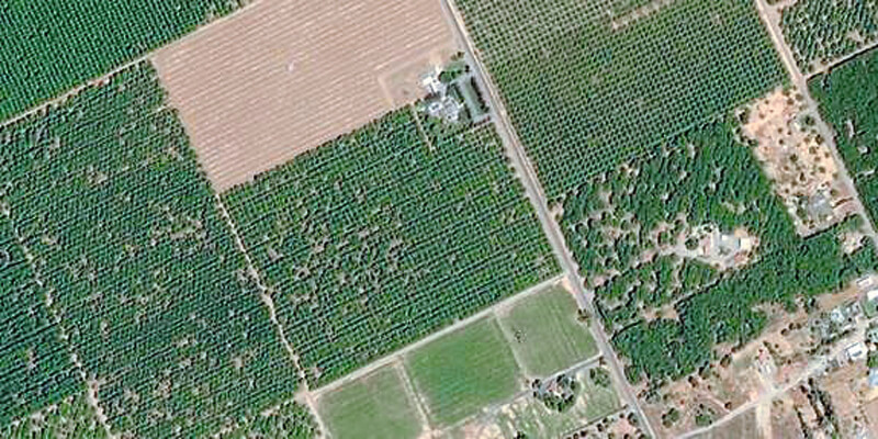
IntelinAir and Airbus announced a multi-year collaboration agreement that will provide high-resolution, Airbus satellite imagery as an input to IntelinAir’s artificial intelligence (AI) powered crop analytics AGMRI platform to deliver a complete view of every acre, every field from planting to harvest. High-resolution imagery services from the Pléiades and SPOT 6/7 satellites will provide 50cm and 1.5m geospatial imagery into the AGMRI platform as an additional input, so that farmers can make data-driven decisions and proactively manage their operations with confidence. With satellite and other aerial imagery sources, farmers receive a new perspective of the agronomic conditions in the form of emergence, plant health, weed detection and harvest readiness in their fields throughout the growing season. www.airbus.com


