Share
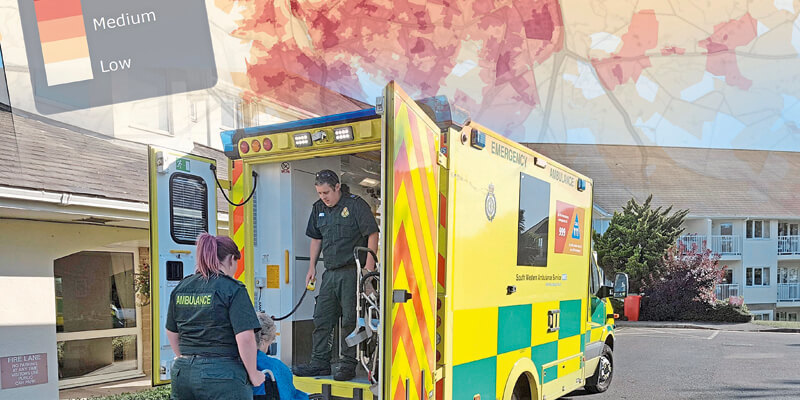
Earth observation company 4 Earth Intelligence has used satellites to create the UK’s first street level map of ‘at risk’ areas to help plan for and manage the effects of extreme weather conditions. With support from the Ordnance Survey through their Covid-19 Response licensing, the Heat Hazard Postcode data is being made available free at the point of use to national organisations and multi-agency partnerships, such as Local Resilience Forums, that are currently battling the coronavirus pandemic. Derived from satellite imagery and created using automated algorithms, the data identifies hot spots within urban areas where temperatures are generally higher forming an Urban Heat Island. With above average temperatures forecasted, and the summer of 2020 already being predicted as one of the hottest on record, it is feared that this could severely impact on already stretched public resources. www.4earthintelligence.com


