This year’s event will combine both Federal and State and Local users from across the country who will gather in DC to share their use cases and learn about how GIS is shaping public sector innovation. The theme of this year’s FedGIS is – GIS: Improving Our Nation, and Esri is focusing on a new arena as well with GIS as “The Science of Where.” I would love to be able to connect you with Esri leadership and users to discuss how they are using the latest GIS solutions to result in more effective governments, empower citizen services, and better inform public policy by unleashing the power of map visualization and the analytics behind it.
As you know, Esri is a pioneer in the geospatial field. Esri technology and the users who apply it are actively engaged in map-making and analytics that affect virtually everything that is happening on our planet, applying the Esri platform to reveal deep insight into data and creating the maps and analytics that run the world.
Some examples we can discuss with you:
- Open Data Hubs – Diverse cities such as Los Angeles, Long Beach, and Oakland, Michigan launched ground-breaking Smart City, open data initiatives that make the city’s data available to the public online. Using Esri’s spatial analytics technology to place information in the context of location, they enable citizens, businesses, and academic institutions to use civic data for better decision-making.
- Waze - As you may know, Waze is a widely used map app. This partnership broke new ground this year by providing the first ever 2 way communication between app users and government for real time action. With almost all state governments already using Esri technology, this partnership allowed Waze to immediately link in and give real time updates on traffic, construction, accidents, etc. This is all in real time and the infrastructure is already there because most of the cities already have Esri's ARCGIS Online product which is what this all runs through. Minimal cost and instant Smart City.
- Hurricane Matthew/Louisiana Flooding - Disaster response and recovery - Esri worked with cities to save lives and help people live life while recovery was in progress.
- Tennessee Wild fires - Real time location analytics saved lives, assisted in disaster recovery and helped people know where damage was in real time.
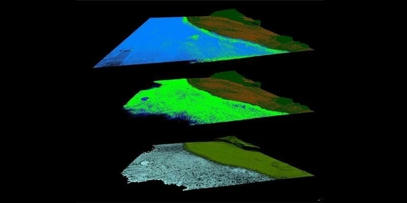
- Drone2Map - In Myrtle Beach, drone use was critical to prepare them both before Hurricane Matthew, and after, when historic river flooding became a major issue. Before the storm, the GIS team used Drone2Map to record dune heights and sand levels on their coastline to provide them with a benchmark pre-storm. Following the storm, they deployed the drone again to assess the damage. Use of the drone saved considerable time, allowed the county to be more prepared for flooding impacts, and the data helped to plan for beach rehabilitation.
All of these examples serve as validation for “The Science of Where” and how relevant location analytics is in daily life on this planet. Esri would love to talk to you more about new initiatives they have planned for the upcoming year at FedGIS.
Subscribe to our newsletter
Stay updated on the latest technology, innovation product arrivals and exciting offers to your inbox.
Newsletter

