News
News as it happens! Keep in touch with the latest developments in business and technology in the regions or worldwide.


TomTom and sensewhere Team Up to Bring Location Based Service Indoors
29th June 2016
TomTom and sensewhere Team Up to Bring Location Based Service Indoors
1Spatial’s 1Integrate for ArcGIS Goes Mobile with Collector for ArcGIS
29th June 2016
1Spatial’s 1Integrate for ArcGIS Goes Mobile with Collector for ArcGIS
Cyber Security for Critical Infrastructure Exchange
28th June 2016
Cyber Security for Critical Infrastructure Exchange
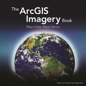
The ArcGIS Imagery Book: New View. New Vision.
28th June 2016
The ArcGIS Imagery Book: New View. New Vision.
DigitalGlobe and Esri Announce New Long-Term Partnership
28th June 2016
DigitalGlobe and Esri Announce New Long-Term Partnership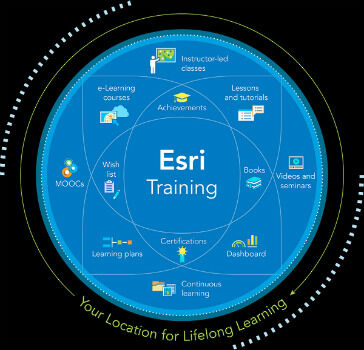
Esri Offers Free Self-Paced E-Learning to Customers
28th June 2016
Esri Offers Free Self-Paced E-Learning to Customers
Charlotte Uses Cityworks across Entire City
27th June 2016
Charlotte Uses Cityworks across Entire City
Bentley Announces Global Framework Agreement with Shell
27th June 2016
Bentley Announces Global Framework Agreement with Shell
Septentrio's Enhanced Georeferencing Solutions for Drone Aerial Survey
27th June 2016
Septentrio's Enhanced Georeferencing Solutions for Drone Aerial Survey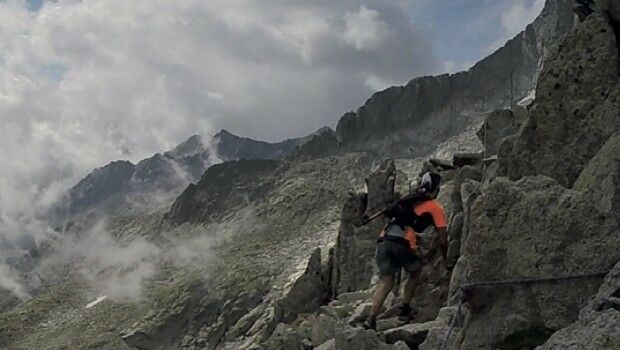
Extreme Runners to be Protected by Globalstar’s SPOT Gen3
27th June 2016
Extreme Runners to be Protected by Globalstar’s SPOT Gen3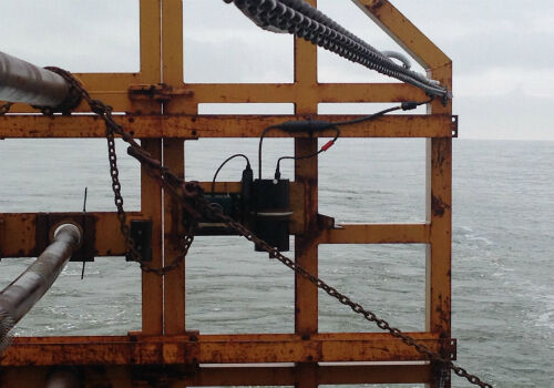
CMS-Geotech Ltd launches new Monitoring System.
27th June 2016
CMS-Geotech Ltd launches new Monitoring System.
Inmarsat solution certified for Airbus A320 aircraft family
27th June 2016
Inmarsat solution certified for Airbus A320 aircraft family
Mapillary Awarded as Technology Pioneer by World Economic Forum
27th June 2016
Mapillary Awarded as Technology Pioneer by World Economic Forum

Nonincendive Mesa 2 Rugged Tablet™ Certified for Hazardous Locations
25th June 2016
Nonincendive Mesa 2 Rugged Tablet™ Certified for Hazardous Locations
Arun District Council grasps opportunities by migrating to Cadcorp GIS
24th June 2016
Arun District Council grasps opportunities by migrating to Cadcorp GIS

MapAction and World Food Programme help Sri Lankan Government
24th June 2016
MapAction and World Food Programme help Sri Lankan Government
Arithmetica’s SphereVision Captures 360 Degree Sub-Sea Selfies on YouTube Beach
24th June 2016
Arithmetica’s SphereVision Captures 360 Degree Sub-Sea Selfies on YouTube Beach
Learn GIS with Esri's Handy, New Companion Guide to The ArcGIS Book
24th June 2016
Learn GIS with Esri's Handy, New Companion Guide to The ArcGIS Book

Driverless Technology Conference 2016 Update
24th June 2016
Driverless Technology Conference 2016 Update