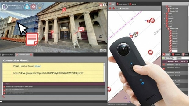
SphereVision Project Provides Complete 360 Imaging Platform
11th April 2018
SphereVision Project Provides Complete 360 Imaging PlatformNews as it happens! Keep in touch with the latest developments in business and technology in the regions or worldwide.

11th April 2018
SphereVision Project Provides Complete 360 Imaging Platform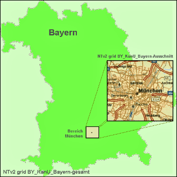
11th April 2018
Solutions for problems with large NTv2 files in GIS and Geosoftware
11th April 2018
Elbit Systems Acquires Universal Avionics Systems Corporation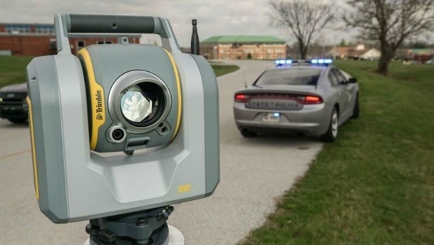
11th April 2018
Efficient Data Collection for Crash and Crime Scene Investigators
11th April 2018
GEO Business 2018 reveal brand new seminar and workshop programme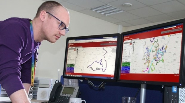
11th April 2018
Bedford Boosts Transport Efficiency with QRoutes10th April 2018
More than a Dozen Federal Agencies to Present at GEOINT 201810th April 2018
Explore What's in Store for You at the World’s Largest GIS Event_2017_21AT_Image_All_rights_reserved_-_Distribution_Airbus_DS.jpg)
10th April 2018
Airbus further strengthens its Earth observation imagery portfolio10th April 2018
A new generation of high precision multispectral sensor
10th April 2018
TSA Members welcome SmartWater’s response to equipment theft
.jpg)
10th April 2018
First Purpose-built Rugged Tablet with Scientific-grade GNSS
10th April 2018
Kinesis Clocks up 2 Billion Commercial Vehicle Tracked Miles
9th April 2018
Sharps Bedrooms Optimises Transport Routes and Schedules with Maxoptra
9th April 2018
Digital Construction Week Call-for-Papers Deadline Approaches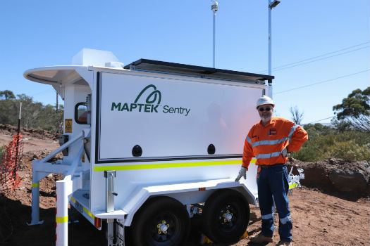
9th April 2018
Maptek showcases Sentry world-class monitoring system
9th April 2018
Orbit GT and Instrumental Y Optica, Ecuador, sign Reseller Agreement9th April 2018
Esri and UNOSAT Host GIS for a Sustainable World Conference9th April 2018
UK BIM Alliance Product Data Working Group Confirmed8th April 2018
International Scientific Expedition to Weddell Sea Announced
7th April 2018
Updated Global Mapper Academic Labs Now Available