Share
The 2023 Geospatial Information Software Technology Conference Concluded Successfully
On June 27 and 28th, the 2023 Geospatial Information Software Technology Conference was held at the China National Convention Center in Beijing, with the theme of "Geospatial Intelligence, Elevated by Integration". Government leaders and academicians from China, experts, and business representatives from both China and abroad were invited to exchange ideas of geospatial intelligence technology and give insights into its broad application prospects.
Plenary Conference: heated discussion and eye-catching new products
The plenary conference commenced on the 27th. Speakers invited are leaders from China’s national ministries and commissions, leaders of universities and other research institutions, and business representatives. Touching a wide range of topics including real 3D China, digital twin water conservancy, AI large-scale model, AI and smart land, multi-modal satellite image integration, and enterprise digital transformation, speakers explained the innovative achievements brought by deep integration of geospatial intelligence technology and IT technology, and shed lights on the future application trend.
The conference specially set up an "experts’ dialogue" session. Centering around the theme of opportunities and challenges for the integration of geospatial intelligence technology and IT technology amid the emergence of new technologies like ChatGPT and AI large-scale model, guests had heated discussions, and exchanged ideas of the broad prospects of geospatial intelligence made possible by AI and geographic information technology.
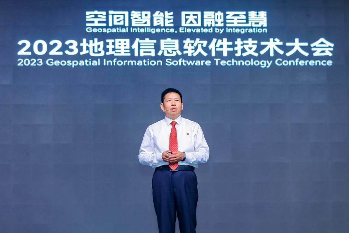
At the conference, SuperMap Software Group, a leading GIS platform manufacturer in Asia and 2nd globally, officially released the latest version of SuperMap GIS series products - SuperMap GIS 2023. Apart from having updated the current products, SuperMap also released a number of new products in SuperMap GIS 2023, including cross-platform remote sensing image processing desktop software [SuperMap ImageX Pro (Beta)], cross-platform nautical chart production desktop software (SuperMap iMaritimeEditor), web-side 3D geographic design application (SuperMap iDesigner3D), 3D WebGPU client [SuperMap iClient3D for WebGPU (Beta)].
This series of products help realize the processing and application of remote sensing data throughout the whole process, achieving the integration of remote sensing and GIS. They also meet the needs of nautical chart production and support online geographic design based on real geographic environments. The rendering performance and effect of 3D Web client have been improved through WebGPU technology, which will bring unprecedented experience and value to users.
SuperMap GIS 2023 has also enhanced the capabilities of cloud GIS server, edge GIS server, terminal GIS, and other products, and has further improved the five major technical systems (BitDC) of GIS platform software, namely big data GIS, AI (Artificial Intelligence) GIS, new 3D GIS, distributed GIS and cross-platform GIS technology system, providing better support for the informatization of various industries.
Dr. Song Guanfu, Chairman of the Board of SuperMap Software Group, introduced the concepts of geospatial intelligence and the geospatial intelligence pyramid in his report “Integration of Remote Sensing and GIS, Accelerating from Spatial Data to Geospatial Intelligence". He also introduced the new generation of remote sensing processing software, which features integration, cross-platform, intelligent processing, and high computing performance.
GIS International Forum: government and business representatives from around the world to share developments in the GIS industry and its future
On June 28th, the GIS International Forum echoed the heating atmosphere of the plenary conference. Around 150 international representatives of governments, businesses, and universities from 28 countries gathered at the venue, discussing the latest developments and application cases in their own countries, covering topics including remote sensing, multi-source data, smart schools, smart cities, AI, cadastre, and minerals.
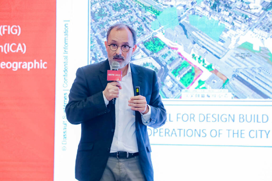
Mr. Morgan Zimmermann, CEO of the NETVIBES data science brand at Dassault Systèmes, delivered a presentation on how to leverage Dassault Systèmes virtual twin experiences to tackle today’s biggest challenges related to cities. He emphasized that, as city ecosystems and projects are growing in complexity and scale, contextualizing Geospatial data in a multi-scale virtual twin enables: shaping more citizen-centric cities; optimizing infrastructure with less construction waste throughout the lifecycle of a building: from construction to use through end-of-life; and building cities that put sustainability and resilience at the core of all activities that take place within, including mobility solutions.
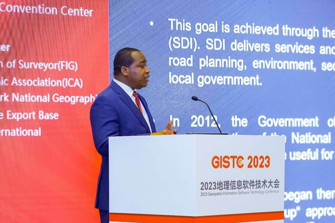
Dr. Edouard FONH-GBEI, CEO of CNTIG and General Secretary of the National Committee for Remote Sensing and Geographical Information, Ivory Coast, Africa, used application cases to explain how geo-information and AI tools have been used for the development of the Ivorian economy. Dr. Edouard FONH-GBEI and Mr. Jacob AHOUNOU, Director of the Digital and Engineering Department of CNTIG met with Dr. Song Guanfu, Chairman of the Board of SuperMap Software Group, and Mr. Wang Haitao, Vice President of the company during the plenary conference. The two parties signed the cooperation agreement after conversation.
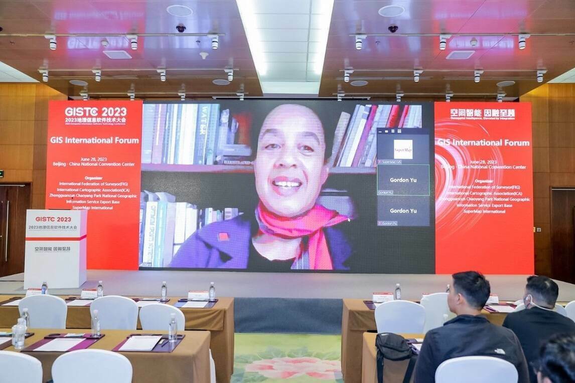
At the end of the forum, Ms. Diane Dumashie, President of the International Federation of Surveyors (FIG) delivered her closing speech via video call. She praised this international forum as an attractive event as it provided a platform for speakers and guests to talk about a wide range of interesting topics in the GIS domain to leverage geospatial technology. “Because the power of geospatial technology continues to be realized across a growing number of industries and applications, the role of the geospatial as well as the surveying profession has never been so important as it is now,” said Diane.
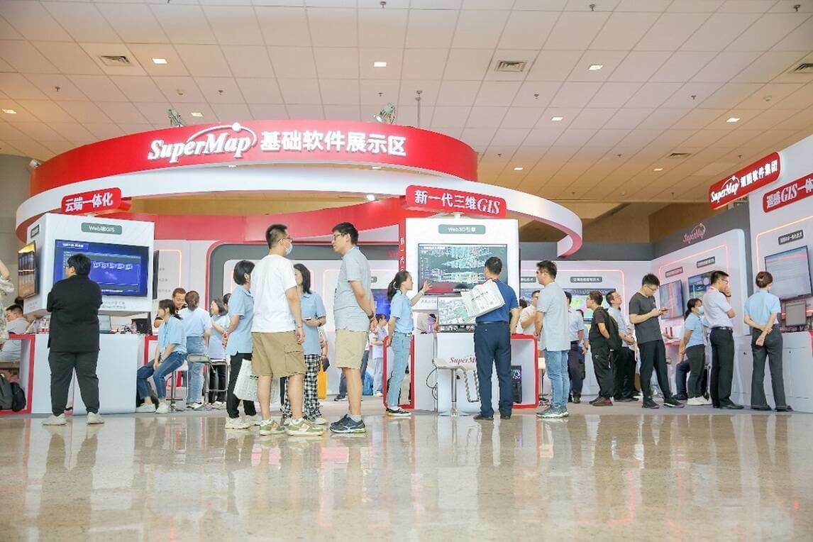
During the two-day conference, a variety of exhibitions have also been held. The three thematic exhibition areas displayed the latest technological achievements and practices of geographic information and IT digitization manufacturers, the latest progress in the integration of SuperMap GIS and remote sensing, and the integration of SuperMap GIS and IT technology, as well as SuperMap's application solutions in multiple fields.
Subscribe to our newsletter
Stay updated on the latest technology, innovation product arrivals and exciting offers to your inbox.
Newsletter

