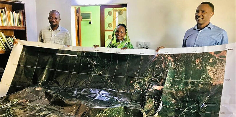
Space tech meets barefoot mappers in Chad
31st August 2022
Space tech meets barefoot mappers in Chad
31st August 2022
Space tech meets barefoot mappers in Chad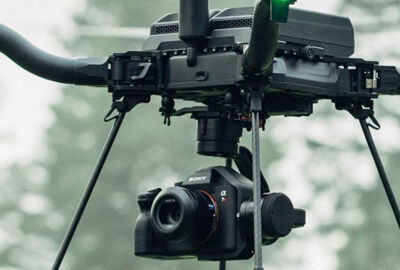
27th July 2022
Choosing the right camera for drone mapping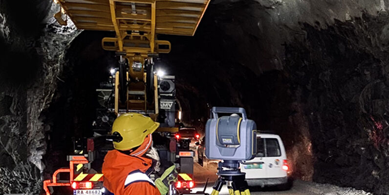
13th June 2022
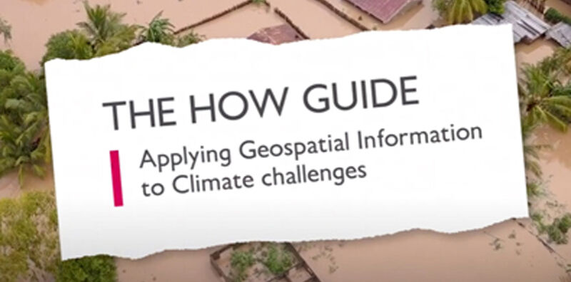
New ‘How’ guide demonstrates how geospatial can be applied to climate challenges
6th June 2022
Topcon Positioning helps Irish water flow more smoothly31st May 2022
This Jubilee Weekend: five London landmarks as you’ve never seen them before25th May 2022
GNSS helps make landmine clearance faster and safer
20th May 2022
Everyday WiFi helps robots see and navigate better indoors
19th May 2022
Dual aerial sensors yield impressive results
2nd May 2022
NOAA showcases new mapping tool for marine species25th April 2022
Showing off at Oceanology International London 2022
3rd March 2021
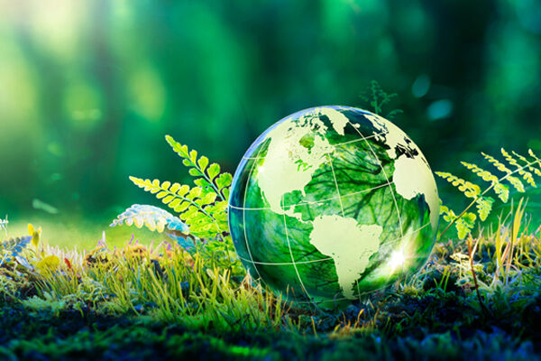
Using AI to avert ‘environmental catastrophe’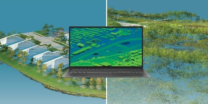
6th January 2021
How Can Data Help Manage The World’s Most Critical Natural Disasters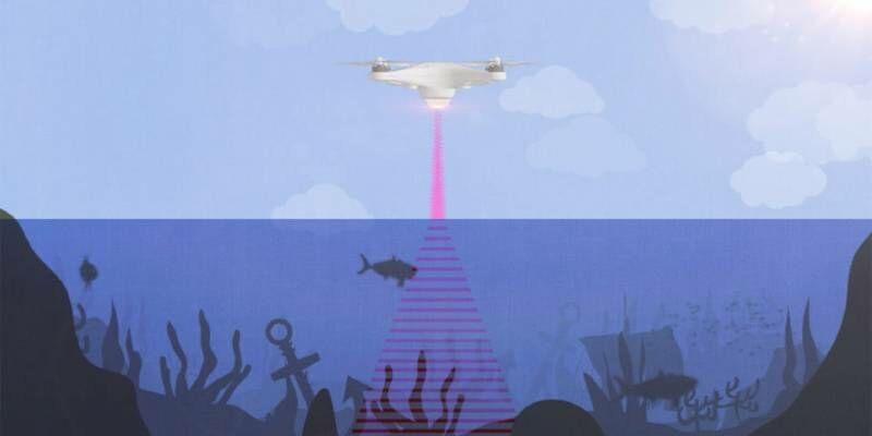
10th December 2020
Stanford engineers combine light and sound to see underwater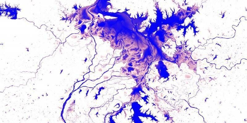
26th October 2020
First-of-its-kind surface water Atlas brings together 35 years of satellite data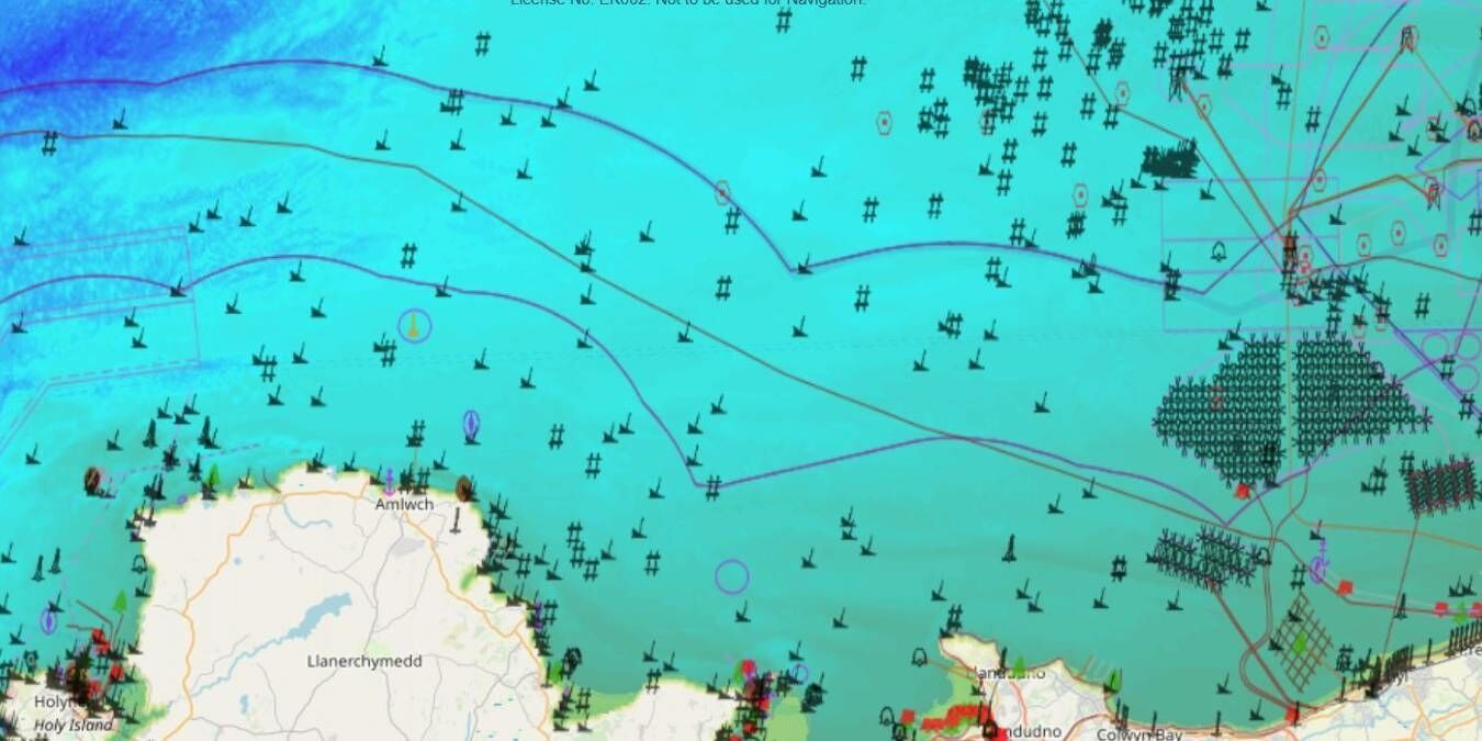
23rd September 2020
Approaching ‘mission critical’ - the future of marine geospatial data access and re-use