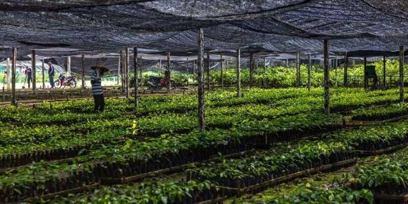
Global forest restoration and the importance of empowering local communities
25th August 2020
Global forest restoration and the importance of empowering local communities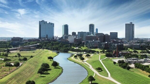
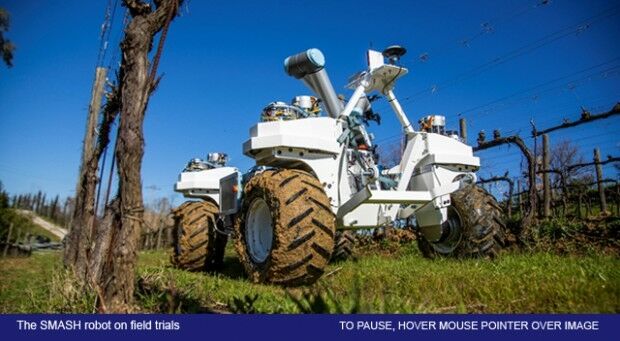
Agri-robotics for a Sustainable Farming Future
23rd April 2020
Agri-robotics for a Sustainable Farming FutureTopcon supports Fosse Shopping Park extension
4th February 2020
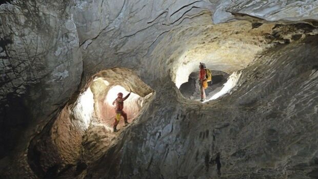
Topcon supports Fosse Shopping Park extensionPioneer in charting modern sea level rise to receive 2020 Vetlesen Prize
30th January 2020
Pioneer in charting modern sea level rise to receive 2020 Vetlesen PrizeEngland one of first nations in Europe to get Google Flood Alerts
23rd August 2019
England one of first nations in Europe to get Google Flood AlertsGeoSpock: bringing data up to warp speed!
1st February 2019
GeoSpock: bringing data up to warp speed!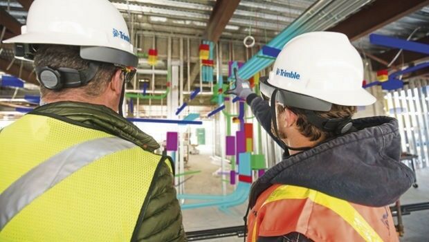
Satellites reveal the underground lifestyle of wombats
17th September 2018
Satellites reveal the underground lifestyle of wombats