Share
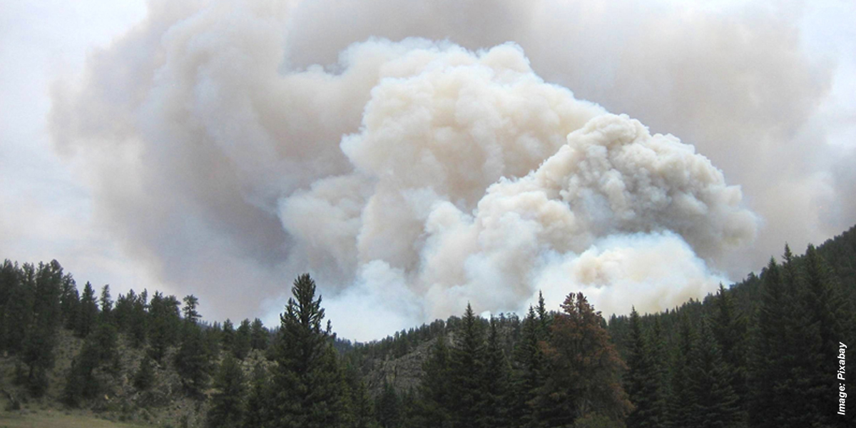
With the North American fire season underway, and a record number of acres already burned nationwide, data from a trio of remote sensing instruments aboard NASA's Plankton, Aerosol, Cloud, and ocean Ecosystem (PACE) satellite will help scientists piece together clues that deepen their understanding of wildfires.
"The challenge that we have is to take those clues and use them in a meaningful way, so our models of Earth properly represent what's happening," said Kirk Knobelspiesse, a remote sensing scientist working on the PACE mission at NASA's Goddard Space Flight Center in Greenbelt, Maryland.
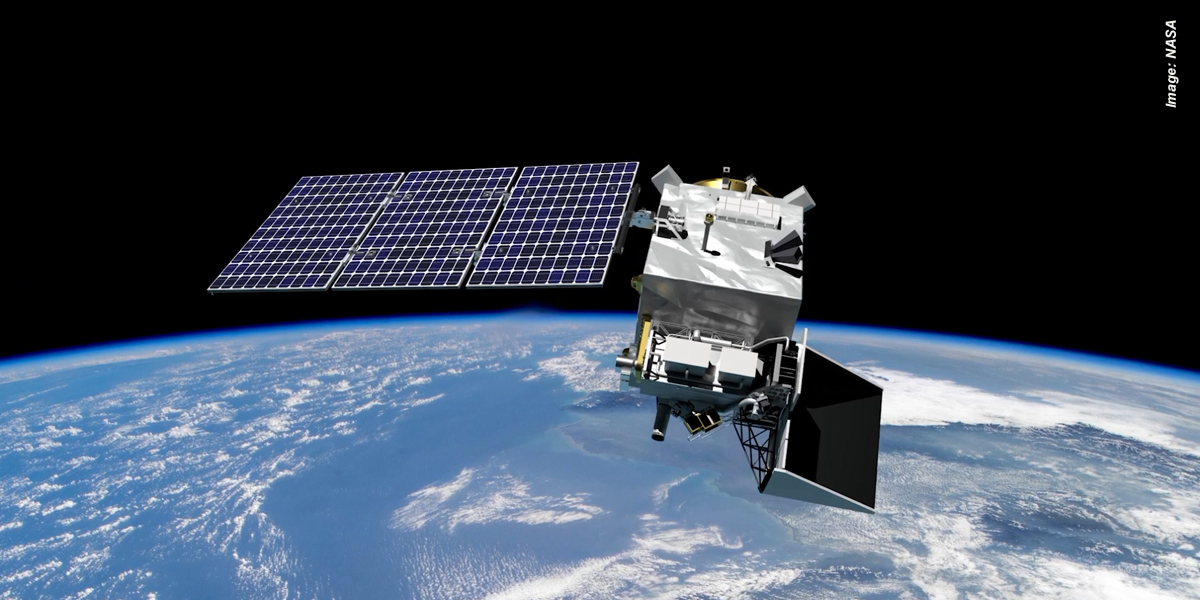
While the satellite, pictured below, which launched in February 2024, was designed to study Earth's ocean and atmosphere, it has an unexpected capability: monitoring changes to vegetation. It can also tell us about burn scars, the charred area of land left behind after a wildfire.
"The PACE satellite observes land too, and does it really well," said Skye Caplan, terrestrial lead for the PACE mission at NASA Goddard. "There is so much to explore with a new hyperspectral data set."
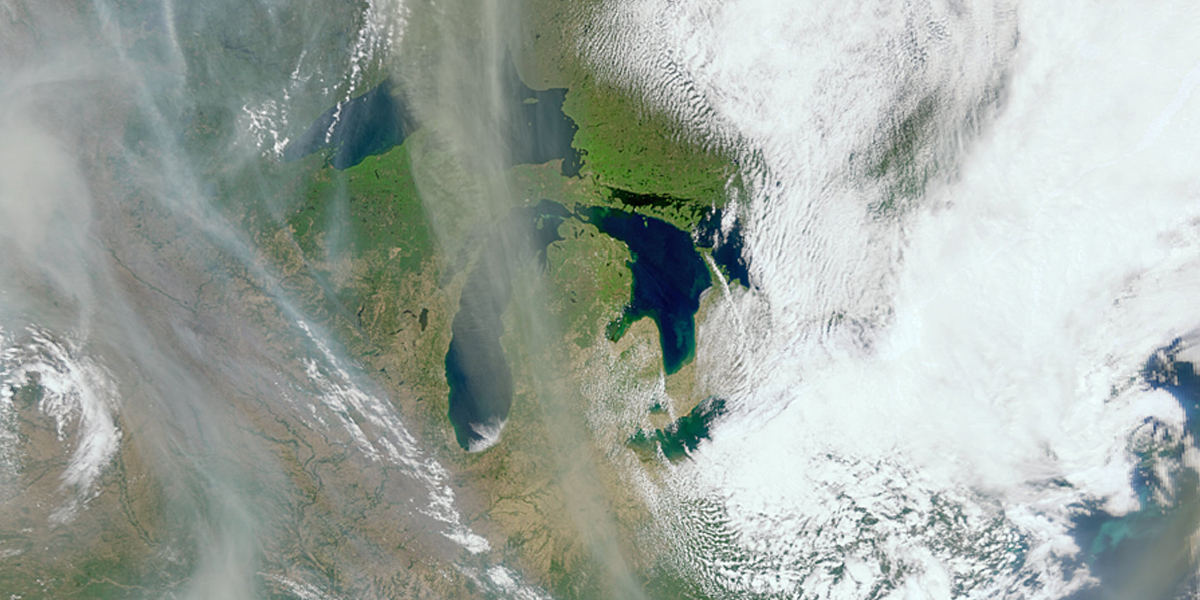
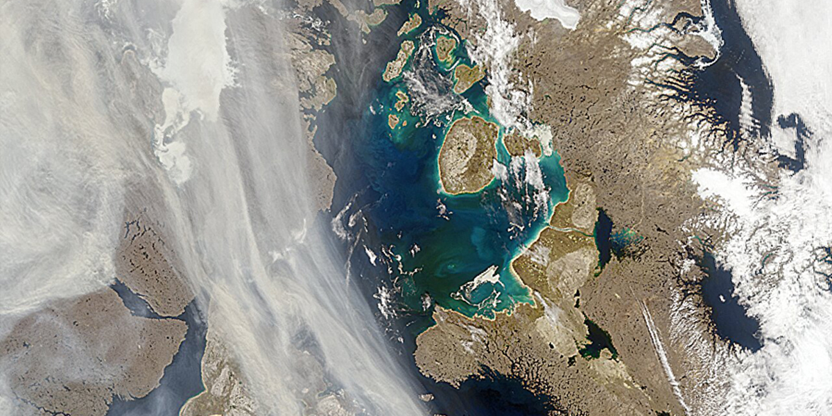
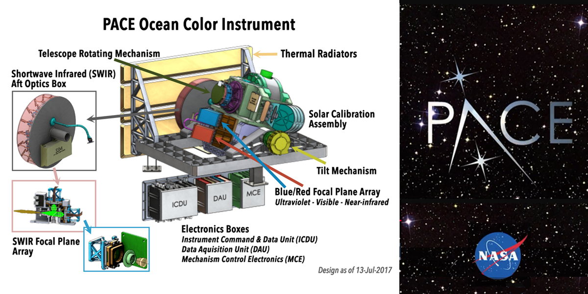
The Ocean Color Instrument on board PACE is a hyperspectral instrument, observing the planet in several hundred different wavelengths of visible, near-infrared and ultraviolet light. This breadth of the spectrum allows it to gather data on the health of plants, such as their state of stress, dryness and relative pigment balance, all of which assist in identifying high-fire-risk areas. Land managers can use these data to distribute resources to help mitigate fire risk.
This instrument views the entire Earth daily, with more frequent coverage at high latitudes. With this frequency, on clear days, PACE scientists can quickly assess the aftermath of fires, determining the location and span of a burn scar. Areas that have been burned by wildfire often see increased flood and landslide risk. It's important to identify these high-risk areas and monitor how they evolve through time, Caplan said.
Using wavelengths in the ultraviolet range, the Ocean Color Instrument can also monitor the smoke after a fire, along with information on how high in the atmosphere these particles drift—height plays a role in how far the particles travel and the systems they impact. The instrument, with its ultraviolet data, expands on fire observations from other satellite instruments, such as the Visible Infrared Imaging Radiometer Suite and the Moderate Resolution Imaging Spectroradiometer.
The other two instruments on PACE, the Hyper-Angle Rainbow Polarimeter 2 and the Spectro-polarimeter for Planetary Exploration one, are rich with information about the composition of aerosols from vastly different regions, said Andrew Sayer, PACE project science lead for atmospheres from the Ocean Color Instrument at NASA Goddard.
By measuring characteristics of light as it reflects off particles in the atmosphere, these two instruments can determine the quantity of these particles, along with their chemical properties, color, size and shape. Scientists use this information to differentiate smoke from other particulates. Smoke particulates are typically light-absorbing—appearing gray, black or brown in color—and are small in size compared with other aerosols PACE views, such as pollutants and dust.
Data from PACE will help scientists create more accurate wildfire models and simulate future events, said Knobelspiesse, the satellite's polarimeter lead. "We'll be able to then look at different scenarios of emissions in the future and see how smoke that's created in one location can impact other parts of the Earth system."
Story Source: Erica McNamee, Science Writer at NASA’s Goddard Space Flight Center, Greenbelt, Maryland, USA
Subscribe to our newsletter
Stay updated on the latest technology, innovation product arrivals and exciting offers to your inbox.
Newsletter

