Share
Forests play a vital role in conservation, climate change, and as a source of raw materials. But our forests are rapidly disappearing. So how can EU Space tools help protect, or even restore, these precious resources?
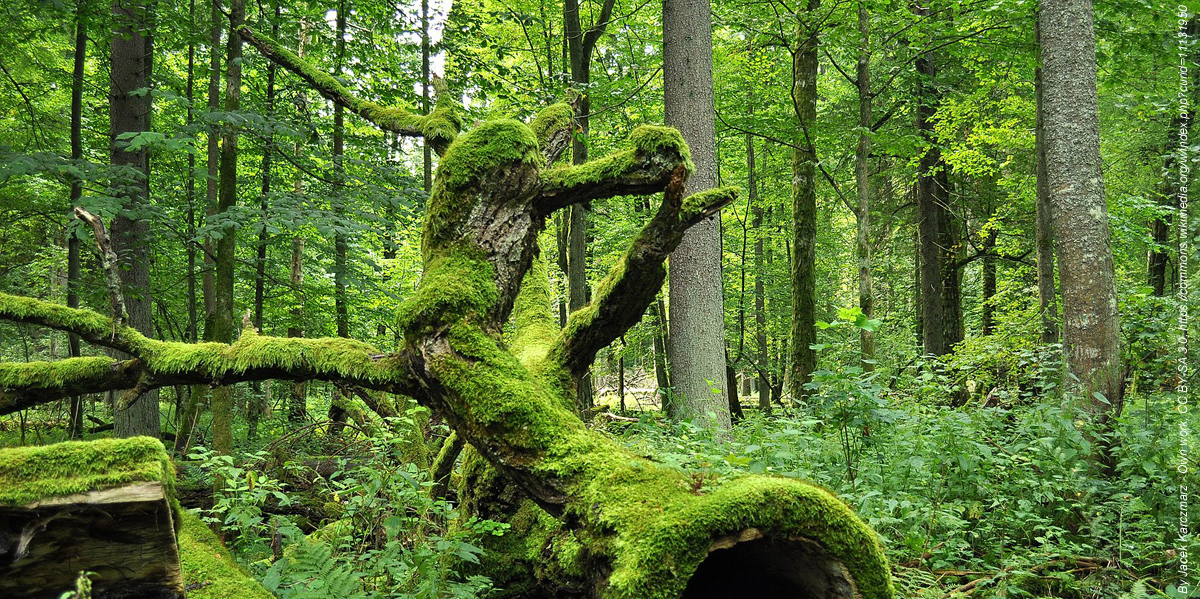
Forests are a resource that keeps on giving. Not only do they provide shade on a hot sunny day, they’re home to a wide range of flora and fauna. Trees are also a crucial raw material for a number of the products that we use every day, such as the packages made by the pulp and paper industry. And who of us hasn’t enjoyed a walk in the woods?
Today, trees play another role, that of climate ally. Acting as a carbon sink, they can remove vast amounts of CO2 from the atmosphere, up to 328 million tonnes per year according to some estimates. This CO2 is then stored, with the Forest Information System for Europe calculating that, as of 2020, forests hold a total carbon stock of 92.1 gigatonnes.
Unfortunately, without drastic action, all these benefits could soon become a thing of the past. Whether due to human activity, climate change, forest fires, extreme weather events or disease, our forests are rapidly disappearing – by as much as 4.7 million hectares a year!
But all is not lost; with EU Space tools we can protect – even restore – our forests.
From promoting reforestation to preventing deforestation, degradation and fires, the EU Space Programme is an essential tool for sustainable forest management. Read on to learn how Copernicus, EGNOS and Galileo are working to ensure that we can all benefit from resilient, sustainable forests for generations to come.
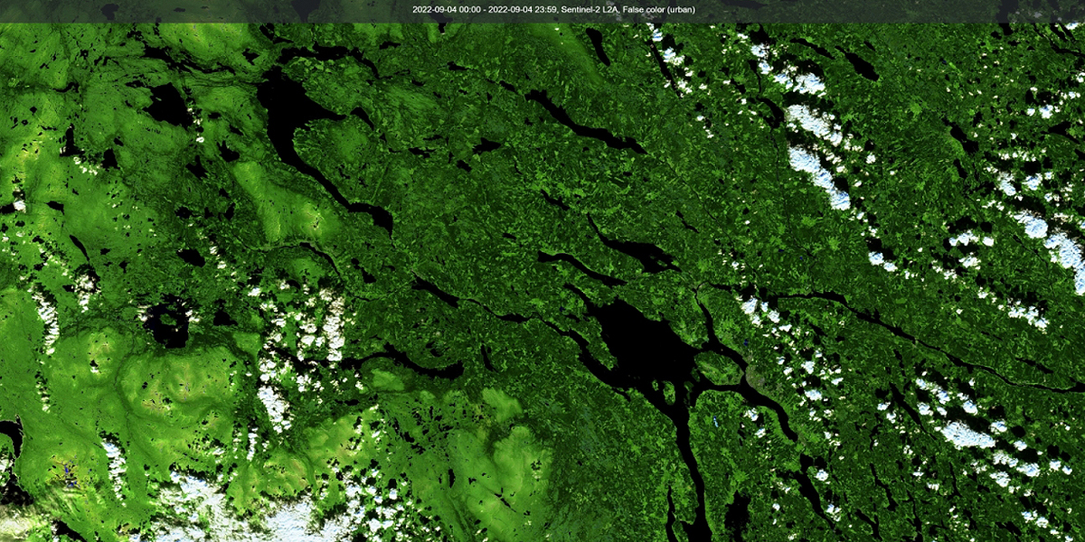
Earth Observation offers an unprecedented opportunity
According to the 2022 EUSPA EO and GNSS Market Report, Earth Observation offers an unprecedented opportunity to monitor forest ecosystems from space. One of those opportunities is keeping an eye on carbon stocks. Using Earth Observation land monitoring systems, climate scientists can map and monitor forest biomass and estimate its potential to serve as a carbon sink.
EO will also play a big part in helping the EU achieve its goal of planting three billion new trees by 2030. With the forest biochemical indicators, climate data provided by Copernicus, authorities can better understand how different tree species will adapt to droughts, heatwaves and other climate-induced extreme weather events. EO can also provide decision makers with the data on soil composition they need to ensure that these new trees are planted in the right conditions.
Moreover, the European Commission currently proposes a Regulation to minimise EU-driven deforestation and forest degradation. Combining geolocation with key information on deforestation based on analyses of EO data including the Copernicus Sentinels is expected to boost the effectiveness of the Regulation. By promoting the consumption of ‘deforestation-free' products and reducing the EU's impact on global deforestation and forest degradation, the new rules are expected to bring down greenhouse gas emissions and biodiversity loss.
Copernicus even has a role to play in preventing illegal logging. By flagging potential development and road construction happening within forests, EO data helps authorities look for illegal activity and predict where such activity is most likely to occur.
GNSS for best practices in sustainable forestry
GNSS enables the use of precision forestry operations, including the guidance of machinery and the variable rate application of fertilisers and irrigation – all of which allow the timber industry to implement best practices in sustainable forest management. Thanks to its more robust signals, Galileo performs better under tree canopies, enabling machine guidance in forest environments. Moreover, Galileo is used to guide drones, which are increasingly being utilised in forest management operations.
Like Earth Observation, GNSS plays an important role in the fight against illegal logging. With the World Bank estimating that 15 – 30% of timber is harvested and exported illegally, authorities use GNSS to track timber movements. This can help increase the transparency and traceability of the timber supply chain, reducing the likelihood of illegal exportation going unnoticed.
Authorities also rely on GNSS when conducting forest inventories, a process that involves quantifying and describing forest resources and health. For example, when inventorying forests in Italy, surveyors relied on EGNOS for accurate positioning in real time.
The power of synergy
While each component of the EU Space Programme brings added value to the forestry sector, they are at their most powerful when used together. That’s why, from carbon monitoring to sustainable logging, Copernicus, together with Galileo and EGNOS, are becoming indispensable tools in sustainable forest management.
But why stop there? When EU Space is paired with emerging technologies like drones, robots and artificial intelligence, the potential for evidence-based forest management becomes endless. To learn more about this potential, be sure to check out the dedicated chapter in the latest edition of the EUSPA EO and GNSS Market Report and get in touch with EUSPA at [email protected].
Source: European Union Agency for the Space Programme (EUSPA)
Subscribe to our newsletter
Stay updated on the latest technology, innovation product arrivals and exciting offers to your inbox.
Newsletter

