Share
Space enthusiasts and families across the UK will have the chance to contribute directly to climate science through an upgraded cloud-spotting project launched today
CloudCatcher, a citizen science initiative developed by scientists at the Science and Technology Facilities Council’s (STFC) RAL Space, invites the public to help validate cloud detection tools used in satellite imagery. These tools are essential for gathering accurate climate data from space.
The project builds on a successful prototype launched in 2020, which demonstrated that citizen scientists could effectively identify clouds in satellite images. Over 1600 people took part in this edition, with the results published in the Royal Meteorological Society’s Weather journal earlier this year. The new CloudCatcher offers improved features that enable participants to spot thinner cloud and confirm that images already labelled as clear-sky are indeed truly clear with the aid of false-colour imagery.
Clouds must be considered when scientists measure Earth's surface temperature from space. When satellite instruments take measurements, clouds must be correctly identified to ensure accurate surface data is collected.
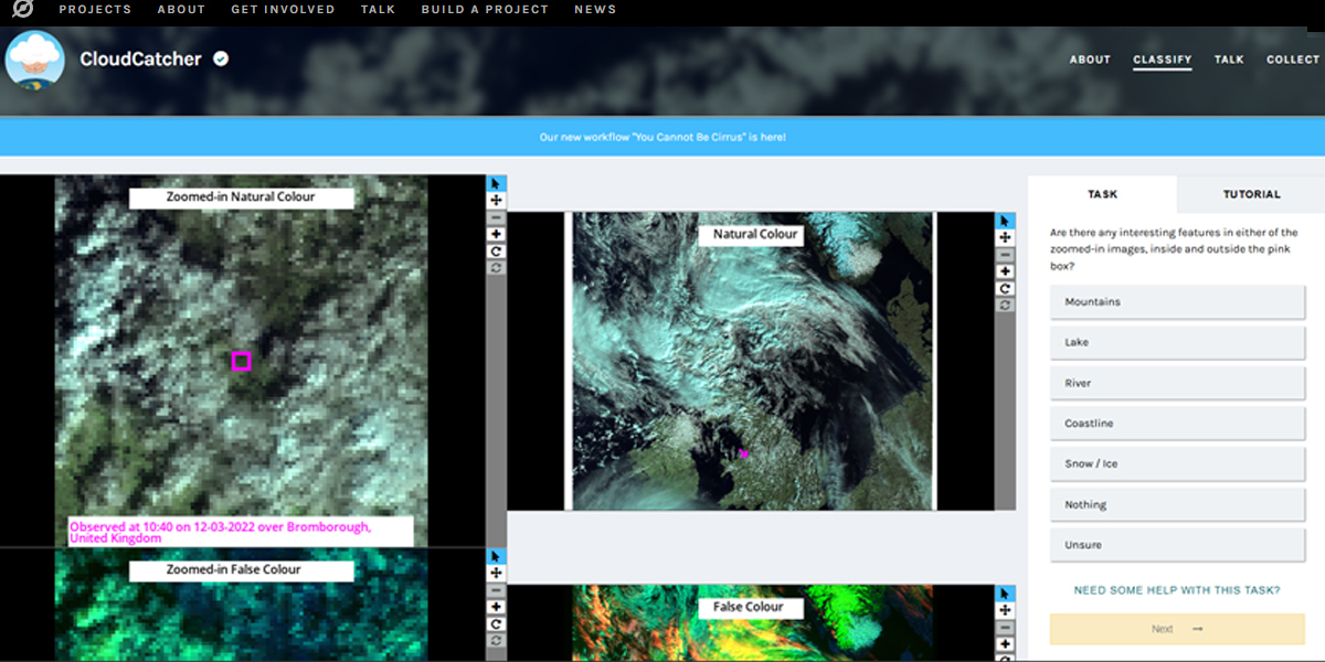
Participants access CloudCatcher through the Zooniverse website (below), where they're shown satellite images and asked to identify whether small sections contain clouds. No special equipment is needed, and tutorials provide the training, making it suitable for the general public, families, and even schools to get involved.
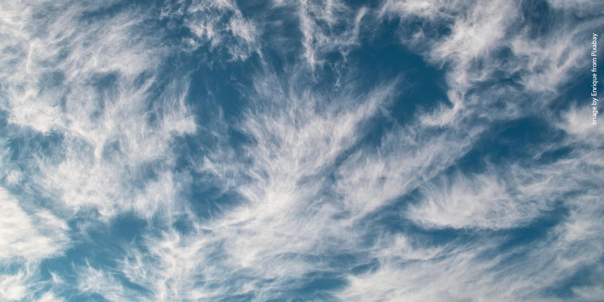
Why do we need to catch clouds?
Clouds don’t just block our view of the sky, they also block our view of the Earth’s surface from space. Many satellite images taken of the Earth have a ‘cloud mask’ attached to them. This is a label added to individual pixels indicating whether they’re cloudy or clear, and its purpose is to help scientists when processing the data. If they are looking at the Earth’s surface temperature, for example, they will avoid processing pixels with clouds in the way of Earth.
Cloud masks are usually accurate when it comes to identifying cloud, but there is always room for improvement and scientists need as much information as possible to verify where the cloud mask is not working as expected.
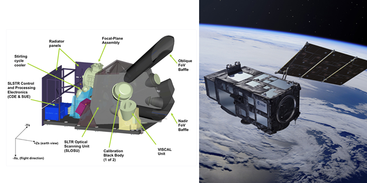
The satellite images used in CloudCatcher are taken from the Sea and Land Surface Temperature Radiometer (SLSTR). This is an instrument that flies on the Sentinel-3 family of satellites, developed by the European Space Agency as part of the European Union’s Copernicus programme.
Data collected using CloudCatcher will support the evaluation of cloud masks used by SLSTR. While further verification is needed to ensure cloud contamination is minimised, data from CloudCatcher will be a first step toward improving cloud mask accuracy for climate monitoring and weather forecasting, ultimately benefiting communities worldwide.#
Get involved!
To take part, visit the CloudCatcher project on Zooniverse.org and start spotting clouds from space today.
Dr Caroline Cox, Research Scientist at RAL Space and leader of the CloudCatcher project, said: “Our satellite instruments capture stunning views of Earth from space, but we need human eyes to help us accurately identify which areas contain clouds and which don't. This might improve how we design cloud masks in the future.
"Every classification you make helps verify our current systems, supporting scientists around the world who depend on this information. The beauty of CloudCatcher is that everyone can participate – no special knowledge required, just your natural ability to spot patterns and differences in these remarkable images of our planet.
"Its science made simple, meaningful, and – we hope – as fascinating for you as it is for us when we look at these incredible views from space!"
Story Source: RAL Space
Subscribe to our newsletter
Stay updated on the latest technology, innovation product arrivals and exciting offers to your inbox.
Newsletter

