
G-Cloud 10 includes “The Magnificent Seven” from Europa Technologies
29th June 2018
G-Cloud 10 includes “The Magnificent Seven” from Europa Technologies29th June 2018
G-Cloud 10 includes “The Magnificent Seven” from Europa Technologies29th June 2018
trajectoryXyzt GEOSPATIAL INTELLIGENCE CONFERENCE ANNOUNCED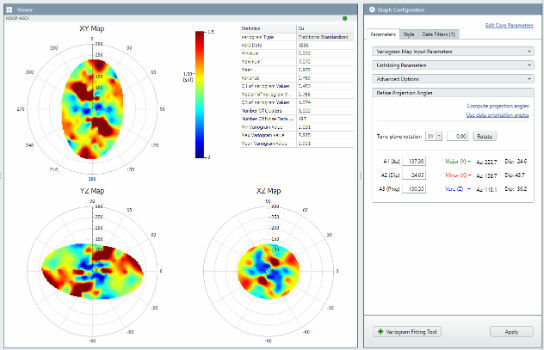
29th June 2018
Hexagon releases improved mine geology suite
28th June 2018
SamyoungPNT to Provide Applanix Products and Solutions
28th June 2018
SKYNET 6 Updates at 20th Annual Global MilSatCom Conference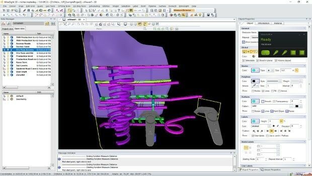
28th June 2018
Hexagon adds virtual reality to improved mine planning solution
28th June 2018
OGC seeks public comment on Part 1 of the Features and Geometries
28th June 2018
GIS partnership strengthens disaster management in Southeast Asia
27th June 2018
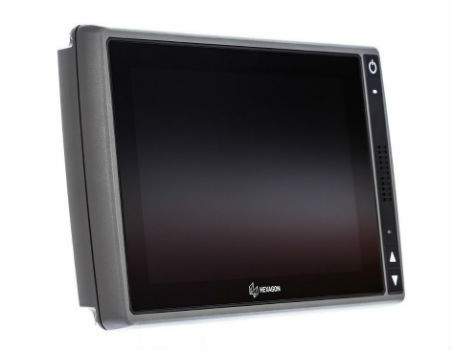
Hexagon introduces HxGN MineDiscover Display 927th June 2018
European Commission Launched Open Call for the Copernicus Accelerator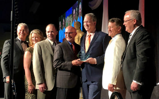
27th June 2018
Juniper Unmanned Named 2018 Colorado Company.jpg)
27th June 2018
Trimble’s New Tunnel Solutions Streamline Workflows
26th June 2018
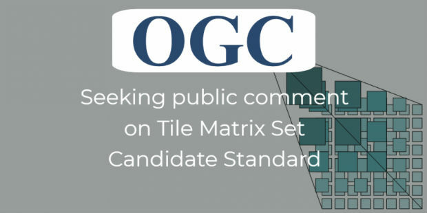
OGC seeks public comment on Tile Matrix Set Candidate Standard26th June 2018
OpenPlant CONNECT Edition Deploys Bentley’s Innovative iModelHub
26th June 2018
New app enables employers to instantly locate staff in event of terror attack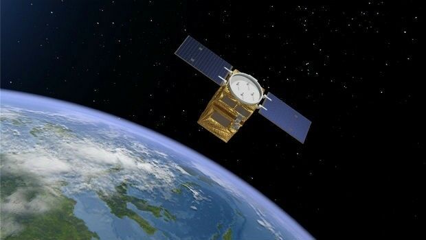
26th June 2018
Airbus to provide an end-to-end Geo-Information System to Thailand
26th June 2018
Women Presidents’ Organization Welcomes Blakelee Mills As Newest Member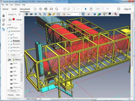
26th June 2018
PDF3D Version 2.16 Focuses on CAD, CAE, Panoramic 360 and Engineering
25th June 2018
Silicon Sensing increases gyro production by 30%
25th June 2018
KOREC launches Trimble’s GEDO IMS to key players in the UK rail industry25th June 2018
“Forecasts for drones are wrong” says leading British drone expert
25th June 2018
Creating Mobile Apps with Big Data from Space
25th June 2018
Airbus and Planet join forces to bring new geospatial products to market
25th June 2018
GEOMAKANI 2018 “3rd Geospatial Technologies Conference”
23rd June 2018
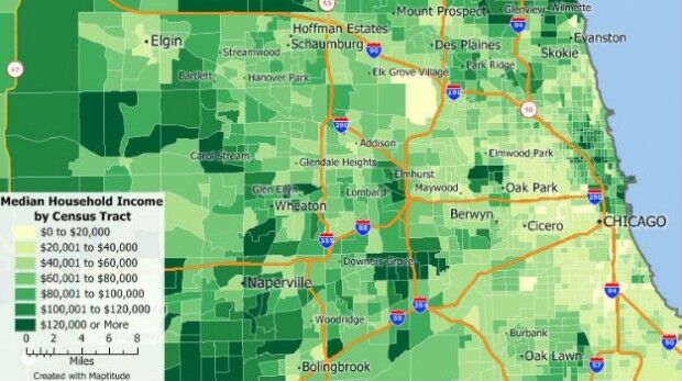
Free Business Location Data for Use with Maptitude 2018
23rd June 2018
Airbus to supply satellite communications system
22nd June 2018
GeoPlace and JAG(UK) help councils cut driver disruption22nd June 2018
Esri User Conference Highlights Where Mapping Technology Is Headed Next22nd June 2018
Safe Software renews FME Certification for 1Spatial's Mary O'Brien22nd June 2018
Soar TGE to generate the world’s first fully decentralised global super-map using drones
22nd June 2018
con terra and GEO Jobe announce partnership21st June 2018
Launch of sobloo - a Copernicus Data and Information Access Service (DIAS)21st June 2018
exactEarth and IHS Markit to Deliver Real-time Vessel Tracking Solution21st June 2018
Bentley Systems Acquires Synchro Software to Extend Digital Workflows
21st June 2018
YellowScan, UAV LiDAR specialist, opens YellowScan Inc. in Salt Lake City.

20th June 2018
ERM Advanced Telematics Completes Development of Anti-Ransomware20th June 2018
Ordnance Survey appoints Philippa Hird as Non-Executive Director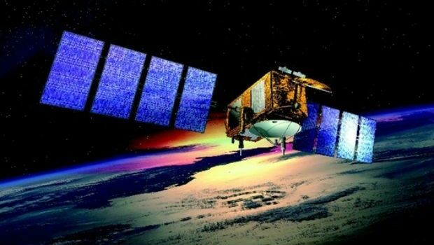
20th June 2018
US/European oceans-monitoring satellite marks 10 years in service