Share
SimActive, a developer of photogrammetry software, announces the use of its Correlator3D product in conjunction with machine learning to determine land use in New Zealand.
Raw images were pre-processed with a machine learning / artificial intelligence (ML/AI) algorithm developed by Lynker Analytics Ltd. for New Zealand’s lighting conditions, removing shading effects from clouds between image runs.
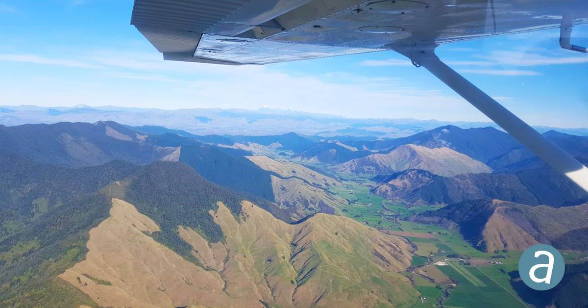
A coalition of data providers and land use experts was led by Lynker, with imagery processed over 7,400 sites by Gordon Morris, an independent geospatial specialist. The high-quality data were captured by UAV Mapping NZ Ltd. using a non-parametric camera mounted on a Cessna 172 airplane.
“By applying a targeted low frequency filter over the luminance of the image, we remove large scale light and dark variations such as those caused by cloud shadow,” said Matt Lythe, Managing Director of Lynker Analytics. “This gives an overall blended appearance, which further enhances mosaic color-balancing in Correlator3D and leads to seamless integration of new survey data into existing basemaps.”
“Correlator3D lets me generate the best imagery available,” said Gordon Morris, a long-time SimActive user. “The team at SimActive provides me the confidence to produce tasks, big or small, with a rapid turnaround”.
Subscribe to our newsletter
Stay updated on the latest technology, innovation product arrivals and exciting offers to your inbox.
Newsletter

