EOS Data Analytics Awarded With 2022 AgTech Breakthrough Award
29th August 2022
EOS Data Analytics Awarded With 2022 AgTech Breakthrough AwardNews as it happens! Keep in touch with the latest developments in business and technology in the regions or worldwide.
29th August 2022
EOS Data Analytics Awarded With 2022 AgTech Breakthrough Award
29th August 2022
U.S. Army Signs Cooperative Research and Development Agreement (CRADA) with HawkEye 360
26th August 2022
Trimble And Claas Strategic Alliance Develops Next-Generation Precision Farming System For Claas Agriculture Equipment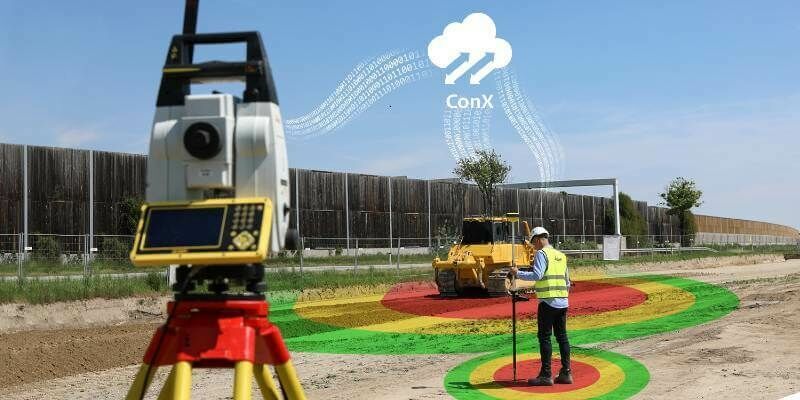
26th August 2022
Leica Geosystems launches new safety awareness module in Leica ConX cloud solution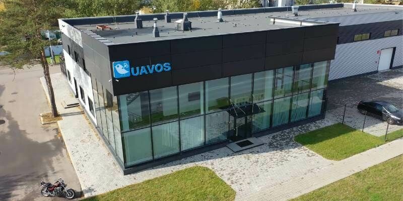
25th August 2022
UAVOS Established Subsidiary in the U.A.E. to Deliver Cutting Edge Unmanned Systems to the Emirates Market
25th August 2022
Geograma Selects Otonomo to Help Advance Road Safety in Spain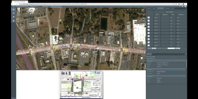
24th August 2022
Traffic Design Data Manager from Phocaz Is Powered by the Bentley iTwin Platform
24th August 2022
HERE Technologies achieves AWS Supply Chain Competency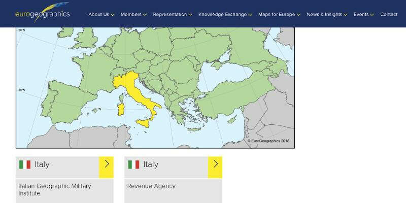
24th August 2022
EuroGeographics welcomes strengthened UN-GGIM
23rd August 2022
NASA's Orion spacecraft with the Airbus-built European Service Module is ready for launch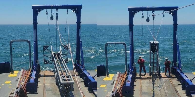
23rd August 2022
New Tools Added to TDI-Brooks’ Shallow Water Geotechnical Kit
23rd August 2022
OGC seeks public comment on Cloud Optimized GeoTIFF (COG) Standard
22nd August 2022
Esri Collaborates with RB Rail AS to Build Sustainable Rail Infrastructure in EU
22nd August 2022
USGIF Announces 2022 Scholarship Award Winners
22nd August 2022
Public Comment Requested on revision to OGC 3D streaming community standard, I3S
19th August 2022
SPRINT awards funding for new collaborative space technology and research projects following National Space Strategy sandpit event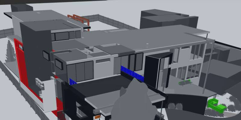
19th August 2022
AKULAR TWIN achieves Powered by iTwin designation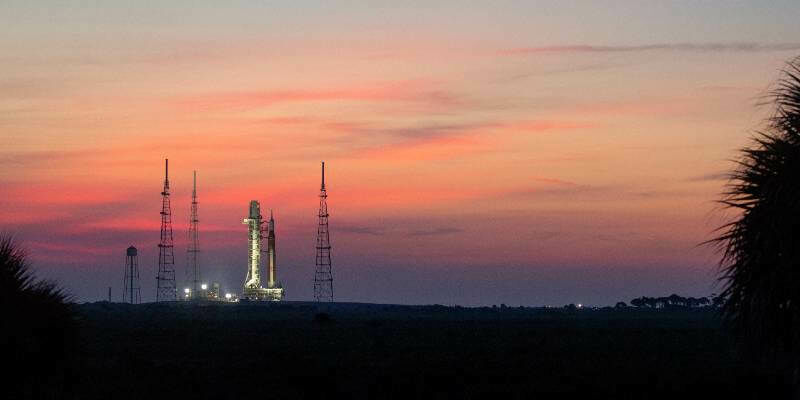
19th August 2022
Online Media Briefing: Artemis I getting ready for launch
18th August 2022
Juniper Systems introduces the all-new Mesa Pro Rugged Tablet
18th August 2022
UKHO appoints Marion Leslie as Non-Executive Chair
18th August 2022
Notice regarding Launch Schedule for our Third SAR Satellite “StriX-1”
16th August 2022
Bluesky Wins Extension to Multi Million Pound UK Government Mapping Contract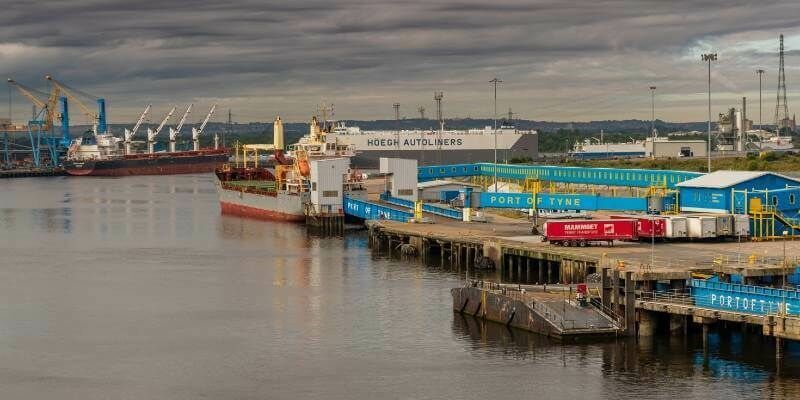
16th August 2022
Environmental Monitoring at the Port of Tyne
16th August 2022
Schneider Electric Announces IEEE 2030.5 Certification of EcoStruxure DERMS