Share
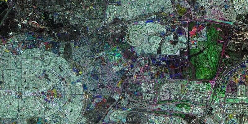
The 870 kilometers of Rail Baltica are divided into several sections across each of the three Baltic countries: Estonia, Latvia, and Lithuania.
An ongoing electric rail infrastructure project in the region, Rail Baltica's purpose is to provide sustainable passenger and freight service between participating countries and improve rail connections between central and northern Europe. To help engineers plan, construct, and manage maintenance tasks to make improvements, RB Rail AS and Esri, the global leader in location intelligence, have signed an enterprise agreement to integrate geographic information system (GIS) software across all project units.
"As the Rail Baltica project progresses, the amount of data that needs to be managed grows significantly, as do the needs of its GIS users, so the Esri Enterprise Agreement was a natural choice to ensure strengthening the capabilities of GIS in the Rail Baltica project," said Raitis Bušmanis, head of the Virtual Design and Construction department at RB Rail AS, the Rail Baltica joint venture.
Esri's ArcGIS software will be used as a connection hub, and all asset data will be stored and handled in a unified spatial database. The system will also serve as a foundation for implementing the Rail Baltica digital twin, a virtual model of the railway's entire operational infrastructure.
Subscribe to our newsletter
Stay updated on the latest technology, innovation product arrivals and exciting offers to your inbox.
Newsletter