MICROMINE’s Pitram allows mine operators greater control
20th June 2016
MICROMINE’s Pitram allows mine operators greater controlNews as it happens! Keep in touch with the latest developments in business and technology in the regions or worldwide.
20th June 2016
MICROMINE’s Pitram allows mine operators greater control
_compr.jpg)
17th June 2016
IMCA Appoints Policy and Regulatory Affairs Manager
17th June 2016
Press conference with ESA astronaut Tim Peake after return to Earth
17th June 2016
ISG Chosen as Asda Works Towards Level 2 BIM
17th June 2016
Esri Education Manager Honoured with Lifetime Achievement Award
16th June 2016
U.S. Marine Corps to Deploy Intergraph Computer-Aided Dispatch
16th June 2016
Leica Geosystems expands LiDAR capabilities in ALS80 airborne sensor16th June 2016
URISA Joins the NextGen911 NOW Coalition as a Partner Organization16th June 2016
UAVAir calls businesses to take note of growing use of drones
16th June 2016
Fugro Performs Integrity Management Support Under Det Norske Contract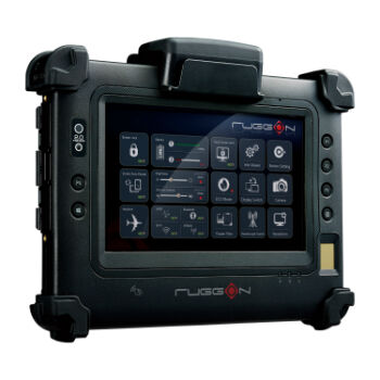
16th June 2016
RuggON's new rugged tablet puts cutting-edge tech in hands of the law
16th June 2016
Molly Schar Named First NSGIC Executive Director
16th June 2016
The Ultimate Summer Drive - Formula Cracked
16th June 2016
Age of Drones Expo is coming: first time in Hamburg, Germany15th June 2016
Esri to Attend AWWA Annual Conference and Exhibition15th June 2016
NSGIC Joins NG911 Now Coalition as Strategic Partner15th June 2016
Airbus D and S Recognised by Hexagon for Shaping Smart Change
15th June 2016
Hexagon Safety & Infrastructure Presents Icon Awards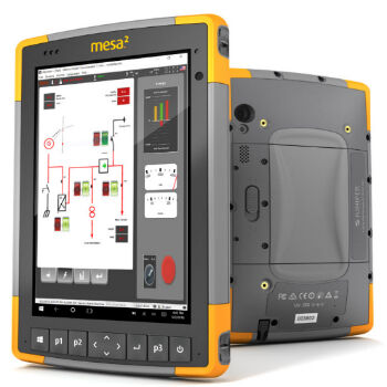
15th June 2016
New Industrial Supervision & Control Solution