
Finding data ranks as top challenge for geoscience data management
8th December 2017
Finding data ranks as top challenge for geoscience data managementNews as it happens! Keep in touch with the latest developments in business and technology in the regions or worldwide.
8th December 2017
Finding data ranks as top challenge for geoscience data management
8th December 2017
App, App and Away - Gatwick launches first passenger app

7th December 2017
Fugro Specialist Takes Up Role With British Geotechnical Association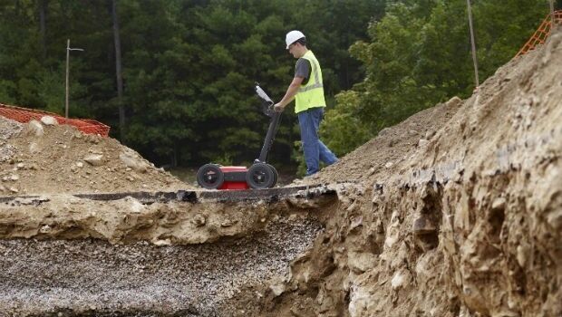
7th December 2017
GSSI to Showcase New UtilityScan® GPR System and Profiler™
7th December 2017
Brampton Brick Chooses Flexipod Proof Of Delivery Software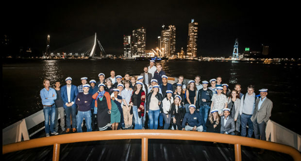
7th December 2017
VSTEP Simulation acknowledged with ISO 9001:2015
7th December 2017
Satellite investment recovered after first year of operations
7th December 2017
EUMETSAT takes steps to extend Meteosat and EPS operations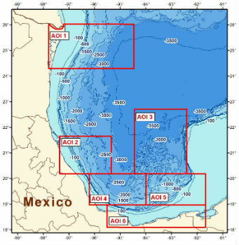
7th December 2017
CGG Releases Multi-Client Airborne GravMag Survey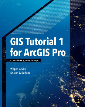
7th December 2017
Esri Publishes a Textbook on How to Use ArcGIS Pro7th December 2017
Sandvik Mining and Rock Technology Assisted by JDA6th December 2017
HERE earns top spot in Strategy Analytics' 2017
6th December 2017
telent announced as Control Room Awards Platinum Sponsor6th December 2017
OGC seeks public comment on CDB Multi-spectral Imagery Extension
6th December 2017
GeoPlace Recognised As An Investor In People6th December 2017
Elbit to Provide and Operate Simulators for IAF Transport Aircraft6th December 2017
Monsanto and Boundless Collaborate for Open Source GIS Contributions
6th December 2017
EUMETSAT ground segment is ready for launch of Copernicus Sentinel-3B
6th December 2017
Virtual simulation for river users to navigate the Boston Barrier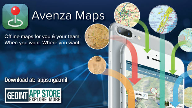
6th December 2017
Avenza Maps iOS App Launches In The GEOINT App Store6th December 2017
Elbit Systems and Babcock International Partnership6th December 2017
Committed Revenue Backlog for UrtheDailyTM Constellation