
NavVis to present M6 indoor mobile mapping system at SPAR 3D
29th May 2018
NavVis to present M6 indoor mobile mapping system at SPAR 3DNews as it happens! Keep in touch with the latest developments in business and technology in the regions or worldwide.
29th May 2018
NavVis to present M6 indoor mobile mapping system at SPAR 3D29th May 2018
GeoSLAM to Demo Fast, Easy and Versatile 3D Mobile Laser Scanning
29th May 2018
ABPmer welcomes Paul Clement as Oceanographic Survey Business Manager29th May 2018
Major GNSS project to boost potential for ‘satellite’ farming in Brazil29th May 2018
JLT Mobile Computers Presents New Rugged Tablet and IT Solutions29th May 2018
Airbus wins major NATO communications system contract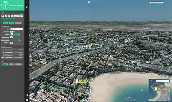
29th May 2018
Orbit GT exhibits and showcases newest 3D Mapping Portfolio
29th May 2018
VSTEP introduces new Fishing module for its NAUTIS maritime simulators25th May 2018
Ordnance Survey announce rise in sales for both paper and digital OS Maps
25th May 2018
BARTHAUER and bluemetric agree on cooperation25th May 2018
Airbus teams up to develop Space CARBon Observatory (SCARBO)25th May 2018
Airbus-led FUSE-IT project awarded ITEA Award of Excellence
25th May 2018
Take a leap into the exciting world of Hyperspectral Imaging
24th May 2018
UK Hydrographic Office appoints Chief Technology Officer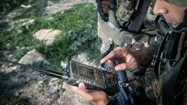
24th May 2018
Elbit Systems to Display Advanced Solutions at CANSEC 201824th May 2018
Topcon system integrates with Volvo CE Dig Assist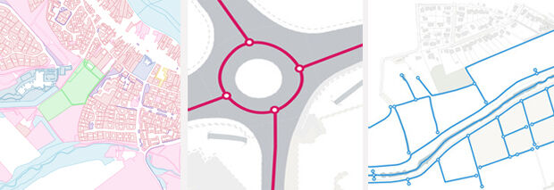
24th May 2018
Cadcorp SIS service release supports more Ordnance Survey data formats and comes with added security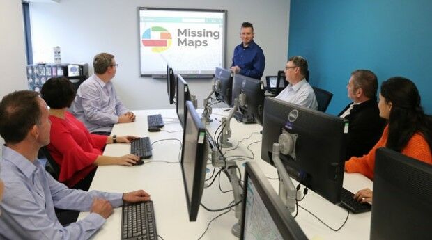
24th May 2018
thinkWhere Supports Global Humanitarian Project to Map Disaster Areas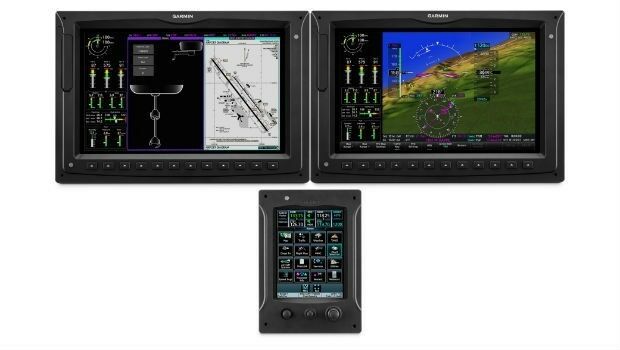
24th May 2018
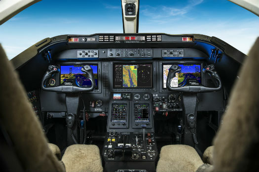
Garmin® introduces the G3000H integrated flight deck
24th May 2018
SUN-AIR of Scandinavia A/S selects the G5000 integrated flight deck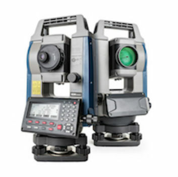
23rd May 2018
Sokkia introduces new high-performance manual total station23rd May 2018
Boundless Introduces New Lightweight, Portable, Offline Basemap Server