Share
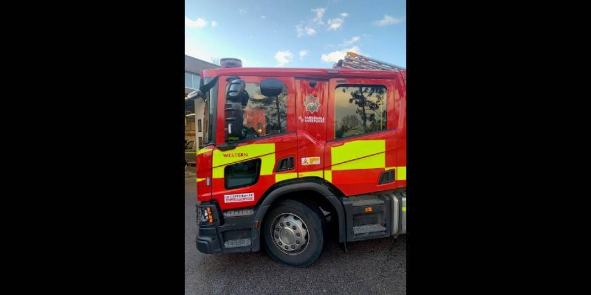
Leicestershire Fire and Rescue Service (LFRS) has introduced Cadcorp SIS WebMap as their new corporate web mapping system.
The Service has named their new system FireMap, which provides easy access to Ordnance Survey maps and to data such as incidents and hydrant locations. As it develops, FireMap will provide easy access to other frontline risk information and plans. LFRS already use Cadcorp GIS software as part of its Workload Modelling, Fire Hydrant Management, Incident Recording System, and mobile devices. FireMap allows the data and analysis from these applications to be shared corporately throughout the Service.
FireMap provides users with the capability to see up-to-date information on maps and without the need to use multiple systems. Departments across the service can search for information, select what to see on their map and export these visualisations into other formats. The system includes aerial photography, on which users can also overlay fire service data. As part of the Cadcorp service, Ordnance Survey maps are automatically updated.
FireMap is a self-service application and to encourage corporate use, LFRS has added a FireMap icon to all computer desktops. FireMap can be viewed anywhere within the organisation and on any device with a browser. It can also be accessed ‘in the field’ on appliances or on tablets issued to officers.
Karen Klein, LFRS commented: “FireMap delivered by SIS WebMap has a modern look and is easy to use. It has allowed LFRS to corporately share data and GIS functionality on desktop and mobile devices.”
Subscribe to our newsletter
Stay updated on the latest technology, innovation product arrivals and exciting offers to your inbox.
Newsletter

