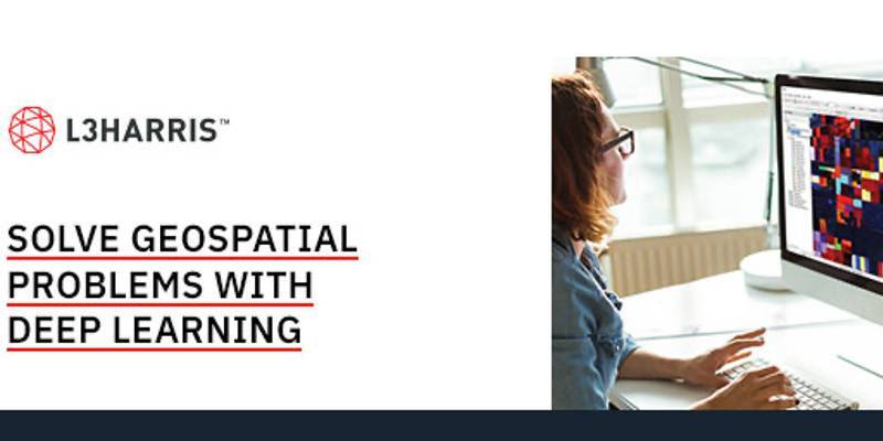
Deep learning is gaining popularity in the remote sensing community because it holds the promise of making it easier to extract actionable information from imagery. If done right, organizations that apply deep learning can lower manual processes while saving time and money.

L3Harris Geospatial has developed commercial off-the-shelf deep learning technology specifically designed to work with remotely sensed imagery to solve geospatial problems.
Not everyone is a deep learning expert. We've developed ENVI Deep Learning with that in mind. The module has intuitive tools and workflows that don't require programming and enable users to easily label data and generate models with the click of a button.
Watch a short demo to see how ENVI Deep Learning was used to solve one specific problem – providing real-time, actionable intelligence to relief organizations responding to a natural disaster.
Subscribe to our newsletter
Stay updated on the latest technology, innovation product arrivals and exciting offers to your inbox.
Newsletter

