Share
Hexagon’s Safety, Infrastructure & Geospatial division announced the release of Luciad 2021, a significant update to its platform for building advanced location intelligence and real-time, situational awareness applications. Luciad 2021 delivers enhanced performance, improved development capabilities and more dynamic web applications.
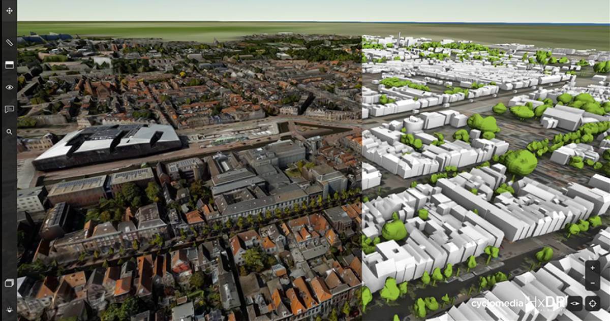
With Luciad 2021, defense, aviation, maritime and other organizations can develop more effective and reliable web applications. LuciadFusion, an all-in-one server solution for geospatial data management, has been equipped with two new types of data streaming, resulting in faster streaming of imagery and point cloud data, while LuciadRIA, used for building browser-based solutions, now includes support for Web Assembly. This state-of-the-art technology brings desktop-like calculations to the browser, reducing start-up time and improving application performance.
Luciad 2021 also features enhancements to the SDKs for desktop and on-board vehicle applications. LuciadLightspeed can now seamlessly integrate into JavaFX-based applications. This makes it easier to embed LuciadLightspeed map components into user interfaces and introduces new capabilities, such as high-resolution map printing. LuciadCPillar, an API for C++ and C# developers, was updated with labelling support and other new features.
“As data becomes bigger and more complex, decision-makers need dynamic applications to view and analyze information with minimal delay,” said Mladen Stojic, President, Geospatial, Hexagon’s Safety, Infrastructure & Geospatial division. “Luciad 2021 delivers even better performance for geospatial streaming and web applications, while also improving the capabilities of desktop and in-vehicle solutions. It provides developers with an exceptional toolset and maximum flexibility to suit their technology and architecture needs.”
The Luciad portfolio is the SDK of choice for building high-performance mission-critical geospatial applications featuring static, dynamic and moving data in 2D and 3D. It is used extensively in defense, aviation, maritime and other sectors and powers solutions for NATO, EUROCONTROL, Lufthansa Systems, Airbus Defence and Space and many other leading organizations.
Subscribe to our newsletter
Stay updated on the latest technology, innovation product arrivals and exciting offers to your inbox.
Newsletter

