Share
The project, developed in collaboration with the European Space Agency (ESA), will strengthen Poland’s national Earth observation capabilities and increase its independence in accessing geospatial data.
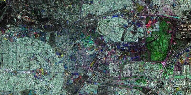
The CAMILA Earth Observation program, the largest satellite initiative in Polish history, is moving into its next phase. Developed in collaboration with the European Space Agency (ESA), the program will deploy a constellation of four observation satellites to strengthen Poland’s national Earth observation capabilities and increase its independence in access to geospatial data.
CAMILA, which stands for Country Awareness Mission in Land Analysis, was established under an agreement between Poland’s Ministry of Development and Technology and the European Space Agency. The system will consist of two main segments: a space segment comprising four Earth observation satellites and a ground segment responsible for mission control and management. Its objective is to provide high-resolution geospatial information to public administrations, emergency management services, and organizations responsible for spatial planning and environmental protection.
GMV is responsible for the design, development, and implementation of the Flight Operations Segment (FOS), the software system that will enable operators to control the CAMILA satellite constellation from the ground.
Subscribe to our newsletter
Stay updated on the latest technology, innovation product arrivals and exciting offers to your inbox.
Newsletter