Share
Over 6,200 professionals headed to GEO Business 2026, cementing its position as the UK's leading event for geospatial technology and location intelligence.
Held at Excel London on 3–4 June, the event featured more than 160 expert-led sessions, over 100 exhibitors and a range of interactive networking and learning experiences, bringing together the people working across surveying, GIS, data, planning and industry.
Alongside the latest tech, GEO Business provided a platform for the conversations, collaboration and knowledge-sharing that continue to drive the sector forward.
Simon Hamlin, Chief Executive of the Chartered Institution of Civil Engineering Surveyors (CICES), commented: "Without Geo Business you wouldn't have the engagement, you wouldn't have the articulation of ideas between organisations and individuals, and that breathes life into the sector which you wouldn't get without this event. It's essential."
The conversations driving the industry forward
More than 160 expert-led seminars unpacked the technologies and trends transforming geospatial.
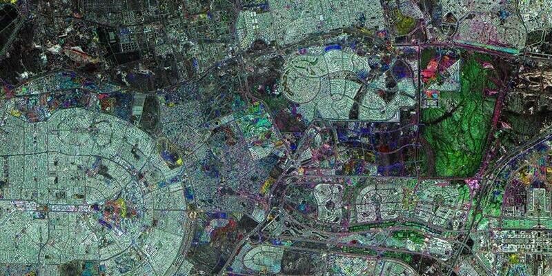
From geo AI and digital twins to Earth observation, reality capture and location intelligence, the event was home to the conversations shaping the future of the sector. And the message was clear: geospatial is no longer supporting decisions from the sidelines – it’s helping lead them.
Among the programme highlights, Marianna Carcano, Geospatial Learning & Development Specialist at Plowman Craven, shared the challenges of digitally surveying and mapping London's iconic Barbican estate.
Dr Tim Rains, Lead Geospatial Data Scientist at BT Active Intelligence, demonstrated how location data is uncovering regional behavioural trends across the UK.
Artificial intelligence was another major theme throughout the programme. Will Cadell, CEO of Sparkgeo, explored the evolving relationship between AI and GIS, while Usama Shamma, Director of Software Engineering at Mastercard, examined how AI is reshaping software engineering roles, skills and workflows.
Visitors rolled their sleeves up for the Humanitarian OpenStreetMap Team's live Mapathon, contributed to discussions through the Hot Topic Roundtables and discovered emerging ideas at the GeoAI Pitch Sessions, where innovators showcased practical applications of geospatial AI.
Together, the sessions reflected a sector focused on practical outcomes – using technology to solve problems, improve decision-making and deliver measurable value.
Subscribe to our newsletter
Stay updated on the latest technology, innovation product arrivals and exciting offers to your inbox.
Newsletter