Share
Satellites have watched Earth for decades.
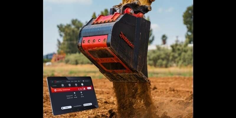
In that time, they’ve accumulated a staggering archive of images. Yet, faced with intractable datasets and cloud-covered images, scientists have struggled to convert the massive data troves into actionable insights about the planet.
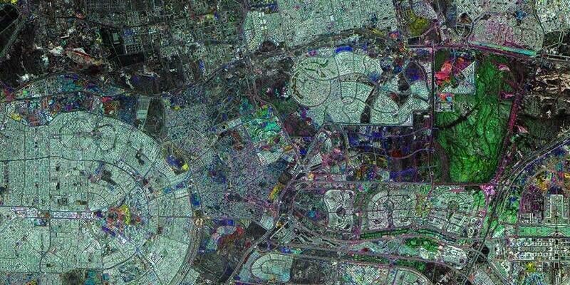
That has changed with Tessera, an artificial intelligence model that distils millions of images captured by European Space Agency satellites into a format that is easily used by researchers. The model, which was developed by a team led by the University of Cambridge, is to be presented 6 June, at the IEEE/CVF Conference on Computer Vision and Pattern Recognition in Denver, Colorado.
The software can be used to reveal crop patterns, habitat loss, deforestation, and even environmental impacts of conflict, said Srinivasan Keshav, professor at the Department of Computer Science and Technology and one of Tessera’s lead investigators.
“Our goal is to support ecologists, agricultural scientists and policy makers through distilled Earth observation on demand. We provide this with no barriers or paywalls. It’s Earth intelligence for all,” Keshav said.
Tessera is a type of generalized AI known as a foundation model. As it churns through petabytes of satellite data, it learns to recognise patterns and how they change over time. It also fills in missing values for cloud-covered images. The result is an uninterpreted sequence of 128 numbers for every 10-by-10-metre area of land. The numbers, known collectively as an embedding, are stored in GeoTessera, a massive database available on demand to researchers.
David Coomes, a forest ecologist and conservation biologist at the University of Cambridge, said that Tessera allows researchers to perform global scale analysis from a simple laptop. “It means that someone like me, who has used satellite imagery for regional studies, can now use AI to scale up analyses and tackle much larger questions,” he said.
Coomes is putting Tessera to use to monitor land that the UK government has designated for protection across Cumbria. The project, a partnership between Tessera, the Endangered Landscapes and Seascape Programme, and other UK partners, could eventually provide the government with a way to measure the effectiveness of investments in farming subsidies and nature conservation.
Subscribe to our newsletter
Stay updated on the latest technology, innovation product arrivals and exciting offers to your inbox.
Newsletter