Share
New application transforms communication into an interactive, map-based experience.
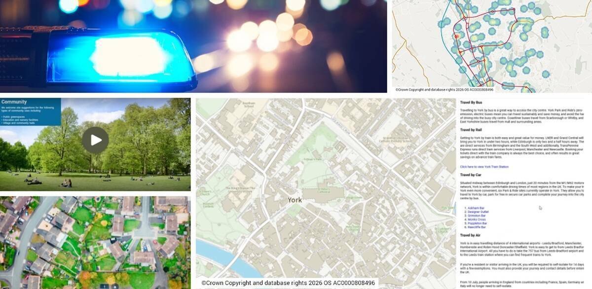
Mapestry is an intuitive, content-driven application that transforms narratives into an interactive experience. Designed for organisations that need to share location-based information with stakeholders and communities, Mapestry combines maps, images, video, and text to create a dynamic online engagement platform.
Mapestry enables organisations to present location-based information in a clear and visually compelling way. Instead of relying on static documents or lengthy reports, users can create responsive web pages that integrate interactive maps with rich multimedia content. This approach makes complex geographic data accessible to everyone, regardless of technical expertise.
The application offers a range of “building blocks” that allow users to design, save, and publish unlimited web pages with minimal programming knowledge. Customisable themes and design options make it easy to tailor content for different audiences. Actions and triggers such as pan and zoom to location, layer control, and view feature information create an animated experience as viewers scroll through the content.
Mapestry turns text-heavy documentation into a visually appealing, portable web page that can be shared via a single URL. This makes it an ideal platform for a wide range of applications, including community risk management, public consultations, local planning, and housing programmes. Its scope extends across all sectors where stakeholder engagement is critical, including emergency services, local government, and land and property.
Subscribe to our newsletter
Stay updated on the latest technology, innovation product arrivals and exciting offers to your inbox.
Newsletter

