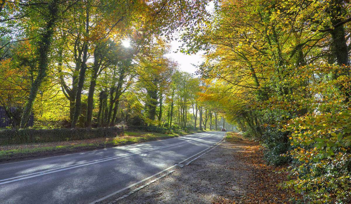
A unique tree mapping tool is being used by Leicestershire County Council as part of its programme to help keep its highways safe throughout the county.
The local authority is responsible for all A and B roads throughout Leicestershire, including some busy, heavy traffic routes such as the A511 and the A606. The Council has turned to Leicestershire-based aerial survey and mapping company, Bluesky International, for insight and data into the county’s trees that sit alongside these key routes.
Bluesky’s National Tree Map (NTM) is a unique dataset that includes height, location, and canopy cover data for trees 3 metres and taller in England, Scotland, Wales, and the Republic of Ireland.
Lucie Hoelmer is a Senior Environmental Partnership Officer at Leicestershire County Council, and she explains why the dataset has proved a valuable tool. “We are currently using the NTM to monitor trees that could affect the operations of the Council as it is responsible for all trees that sit on its land. We also have a duty of care to Highway users relating to the trees within falling distance of the Highway that do not belong to the Council therefore we also need to ensure they do not pose a risk to safety and one of the key areas for us to focus on here is trees that could fall into the roads, blocking busy highways or worse still, injuring people using the roads.
“Knowing the height and likely size and age of trees is important as this helps us calculate the impact they could have if they were to fall in the direction of the road. We have inspectors who are regularly checking the trees on Highway land and they have a cycle of inspection, but the NTM data means we can ensure their work is prioritised by identifying where tall trees in close proximity to a highway are.”
As well as ensuring highway tree inspections are carried out efficiently, the Council has also identified additional uses for NTM, including monitoring the county’s tree cover. Lucie added: “A lot of the tree data we had previously relied on us inputting information from volunteers, so this was not always extensive dependent on the number of volunteers engaged with citizen science projects such as the Woodland Trust Ancient Tree Inventory. The NTM offers us an accurate picture and means we can see where we may be lacking trees in the landscape It helps us predict the areas that could experience issues in the future if we did not provide more trees, like a lack of shade and carbon sequestration.”
Lucie concluded: “In the future we plan to use the NTM in other ways, for example we have been given the go ahead to develop an app enabling Tree Wardens and other volunteers to identify the location of the larger trees in the field. Remote identification of ancient trees saves time and facilitates efficient information gathering. This information can then be fed into the local plan and helps us see where tree preservation orders are needed so we can give them status that requires consideration in planning proposals and changes of land use.”

Subscribe to our newsletter
Stay updated on the latest technology, innovation product arrivals and exciting offers to your inbox.
Newsletter

