

New digital map reveals stunning hidden archaeology of Stonehenge
12th September 2014
New digital map reveals stunning hidden archaeology of Stonehenge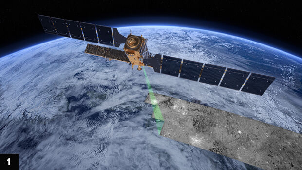
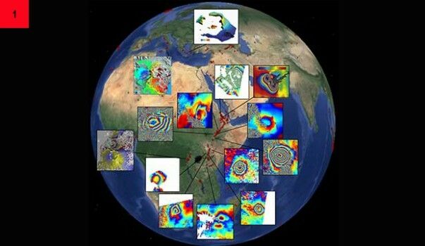
Sentinel-1A adds yet another string to its bow
2nd September 2014
Sentinel-1A adds yet another string to its bow
.jpg)

Moving to the Enterprise Cloud with thinkWhere
15th August 2014
Moving to the Enterprise Cloud with thinkWhere.jpg)
Esri User Conference 2014: GIS – Creating Our Future
15th August 2014
Esri User Conference 2014: GIS – Creating Our Future
Hexagon Geosystems acquires Geodata Diffusion SAS
16th July 2014
Hexagon Geosystems acquires Geodata Diffusion SAS
The promise of discrete global grid systems
26th June 2014
The promise of discrete global grid systems
Airborne mapping of urban air quality: a bird’s eye view of pollution
25th June 2014
Airborne mapping of urban air quality: a bird’s eye view of pollutionSmarter working with paging and location technology
25th June 2014
Smarter working with paging and location technology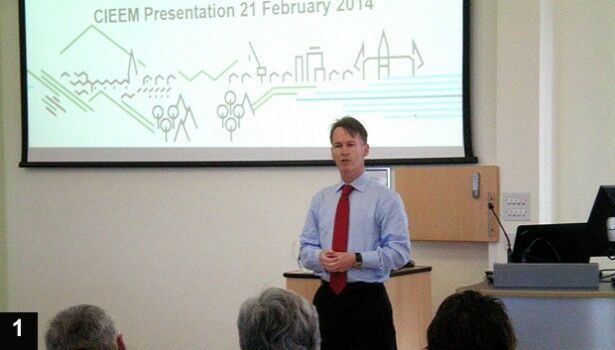
GIS and Remote Sensing for habitat mapping
25th June 2014
GIS and Remote Sensing for habitat mapping
Fast food, festivals and free-range marketing
11th June 2014
Fast food, festivals and free-range marketing
Trends in the Optical Commercial Remote Sensing Industry - Part 2
11th June 2014
Trends in the Optical Commercial Remote Sensing Industry - Part 2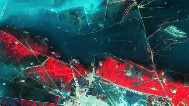
Trends in the Optical Commercial Remote Sensing Industry - Part 1
11th June 2014
Trends in the Optical Commercial Remote Sensing Industry - Part 1New GEO Business show heralds "dawn of a new era"
9th June 2014
New GEO Business show heralds "dawn of a new era"GRITIT streamlines field ops with Telogis telematics
27th May 2014
GRITIT streamlines field ops with Telogis telematics
Monitoring wave-induced shocks at Eddystone Lighthouse
30th April 2014
Monitoring wave-induced shocks at Eddystone Lighthouse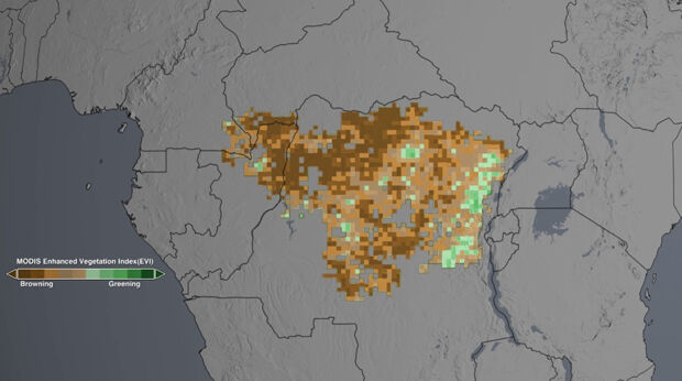
NASA satellites show drought may take toll on Congo rainforest
28th April 2014
NASA satellites show drought may take toll on Congo rainforest.jpg)