2015 Esri User Conference - 360-degree Spectrum of Applications
1st August 2015
2015 Esri User Conference - 360-degree Spectrum of Applications1st August 2015
2015 Esri User Conference - 360-degree Spectrum of Applications6th July 2015
360 degree laser scans help researchers reconstruct Michelangelo bronzes29th June 2015
Geospatially-integrated surveillance systems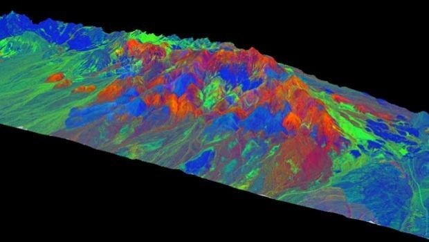
14th April 2015
WorldView-3: setting new standards in Earth Observation24th March 2015
Archivists unearth rare first edition of the map that changed the world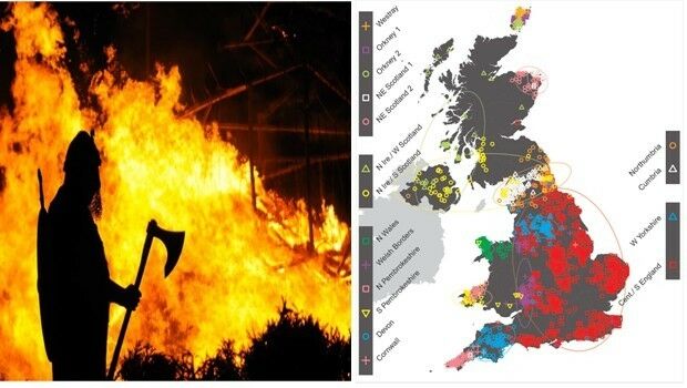

3rd February 2015
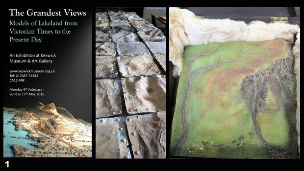
3-D model recreates Victorian view of Britain's Lake District20th January 2015
Agricultural Development Enhanced Detecting Rock Features on Farmland8th January 2015
Sierra Support Services company increases productivity by 12% with Telogis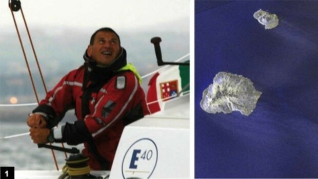
2nd January 2015
Satellites guide sailor from treacherous waters28th November 2014
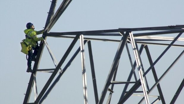
The power of mobility: creating a smarter workforce in the field

25th October 2014
Moving to Enterprise Mobility at ScottishPower
23rd October 2014
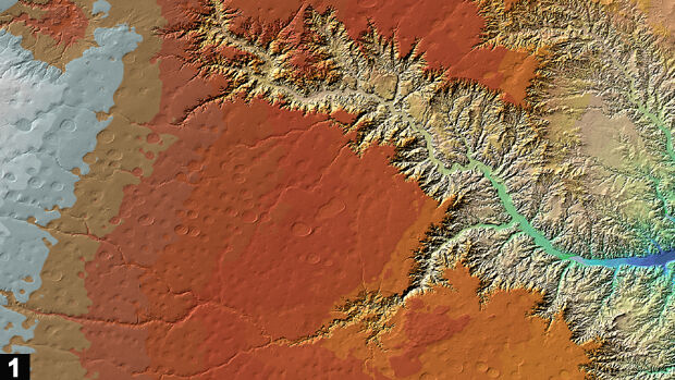
TanDEM-X satellite mission begins science phase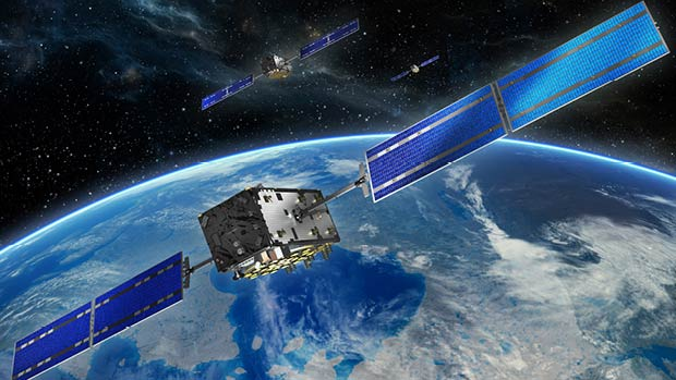
10th October 2014
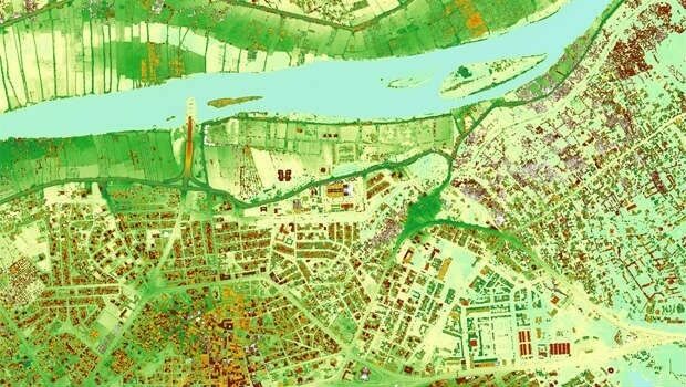
Cutting costs in aerial surveying by combining LiDAR and hyperspectral imaging