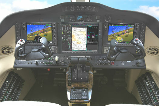
Garmin® announces availability of the G1000 NXi upgrade
8th February 2019
Garmin® announces availability of the G1000 NXi upgradeTextron Systems is a leading developer of data analysis and image processing software providing user-friendly and powerful data visualization, collaboration and exploitation tools.
Used separately or in combination, the geospatial software portfolio delivers immediate processing, analysis and results to users.
The products provide critical support to customers, helping analysts and operations teams to synergize various data streams in real-time.
Textron Systems imagery and data analysis portfolio of products helps to arm decision makers with the right tools to support their missions in the civil and defence markets.
Harnessing agility and a broad base of expertise, Textron Systems’ innovative businesses design, manufacture, field and support comprehensive solutions that expand customer capabilities and deliver value.
+1-800-655-2616
Sterling, VA, United States
Over 50 years ago
Aerial Imaging: High-Resolution Geospatial Data for Mapping, Analysis, and Decision-Making
Geo Analytics
Image Processing / Analysis
Photogrammetry
Georeferencing
Oil & Gas
Defence Military
Marine
Environmental
Disaster Management
8th February 2019
Garmin® announces availability of the G1000 NXi upgrade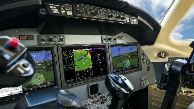
10th October 2018
Garmin® G5000 integrated flight deck upgrade makes significant progress
25th September 2018
Dowe Gallagher Adds Textron Cessna Caravan EX To Lidar Offerings15th May 2017
Responding to Emerging Environmental Threats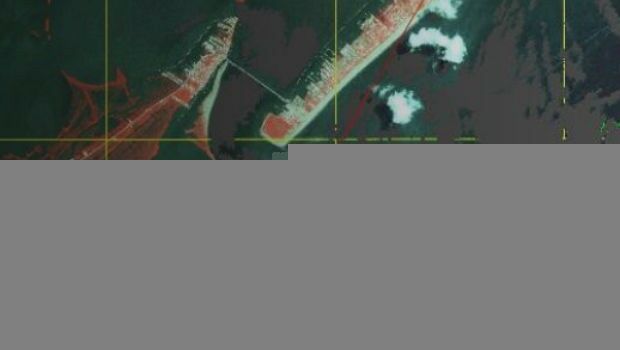
8th March 2017
Disaster Response for the Gulf Oil Spill Webinar
24th January 2017
Airport GIS | LiDAR, imagery and feature extraction for airport operationsThere are no videos for this company.
