SimActive Announces New Drone Training Program for Mapping
4th February 2020
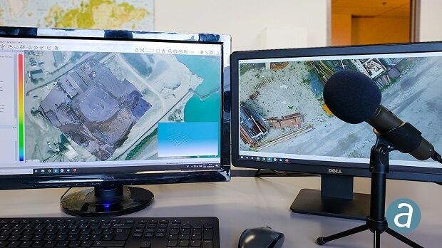
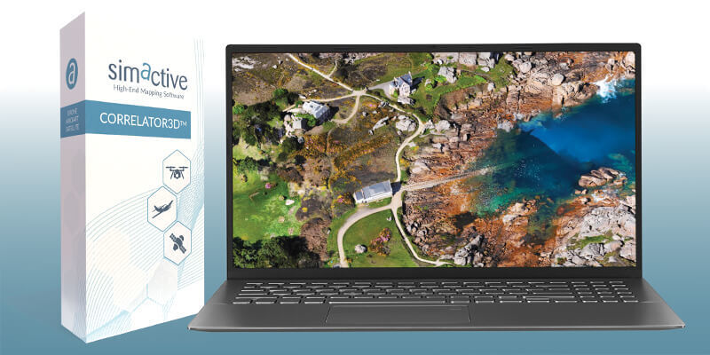
SimActive Announces New Drone Training Program for MappingSimActive is the developer of Correlator3D™ software, a patented end-to-end photogrammetry solution for the generation of high-quality geospatial data from satellite and aerial imagery, including drones.
Correlator3D™ performs aerial triangulation (AT) and produces dense digital surface models (DSM), digital terrain models (DTM), point clouds, orthomosaics, 3D models and vectorized 3D features. Powered by GPU technology and multi-core CPUs, Correlator3D™ ensures matchless processing speed to support rapid production of large datasets.
SimActive has been selling Correlator3D™ to leading mapping firms and government organizations around the world, offering cutting-edge photogrammetry software backed by exceptional customer support.
+1 514 288-2666
465 St-Jean, Suite 701 Montreal, Quebec H2Y 2R6 Canada
2003
Satellite Imaging
Image Processing / Analysis
DEM/DTM/DSM
Unmanned Aerial Vehicles
Photogrammetry
Engineering
Exploration & Production (Mining & Minerals)
Mining
Forestry
Agriculture
4th February 2020
SimActive Announces New Drone Training Program for Mapping
14th January 2020
SimActive further Accelerates Processing with New Version 8.4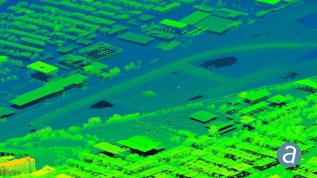

25th November 2019
How to Effectively Combine LiDAR Data with Imagery
28th October 2019
SimActive Software Used for Determining Financial Assistance
24th September 2019
Online training session '10 Tips to Get the Most Out of Your Drone Data'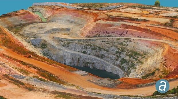
4th September 2019
SimActive Software Used for Gold Mine Mapping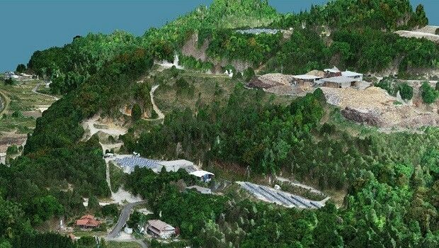
6th August 2019
SimActive Used to Validate Accuracy of DJI Phantom 4 RTK
31st July 2019
Streamlining Large Photogrammetric Projects with Correlator3D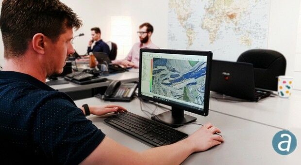
22nd June 2019
SimActive Launches New Drone Processing Service4th June 2019
SimActive Releases Version 8.2 for Processing of Multispectral Imagery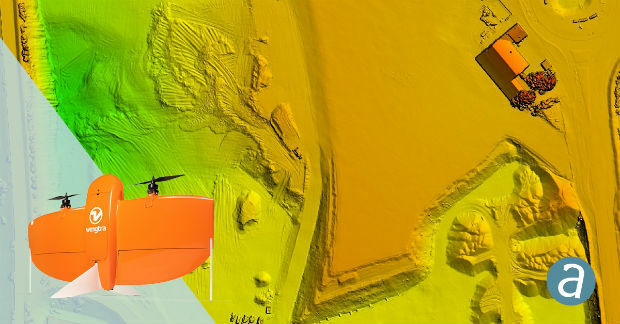
14th May 2019
SimActive Software Enables Processing of Wingtra Drone Data
12th April 2019
SimActive Software Used with eBee X for Shoreline Mapping
12th February 2019
SimActive Expands its Partner Network for Medium Format Camera Solutions
27th November 2018
SimActive Software Used for Large-Scale Photogrammetry Project
19th November 2018
SimActive Releases Version 8.0 with 3D Modeling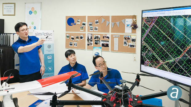
18th September 2018
First South Korea Government Drone Project Completed with SimActive
28th August 2018
SimActive for Mining: Drones & Volume Calculation
12th June 2018
SimActive Software for Precision Agriculture in Brazil
15th May 2018
SimActive Software Saving Hours for DJI Drone Surveys20th March 2018
SimActive Launches Free Data Processing Service13th February 2018
National Gendarmerie Conducts Post-Hurricane Missions with SimActive16th January 2018
South Korea Agency for Defense Development Selects SimActive28th November 2017
SimActive Introduces New Technology for True Orthos31st October 2017
SimActive Automates Direct Georeferencing3rd October 2017
Kenyan Government Mapping Mines with Correlator3D™5th September 2017
SimActive Releases Correlator3D™ Version 7.06th June 2017
SimActive Optimizes Vineyard Performance with Drones9th May 2017
Wantman Completes Extensive UAV Project with SimActive18th April 2017
Trumbull Unmanned Using SimActive for Emergency Response21st March 2017
SimActive and Tianlifa Launch Integrated UAV Solution17th January 2017
SimActive Used for Coastal Erosion Assessment with UAVs29th November 2016
SimActive Enables Processing in the Cloud11th October 2016
SimActive Launches Subscription UAV Software20th September 2016
SimActive Brings Picture-in-Picture 3D Viewing with Version 6.530th August 2016
Airobotics Selects SimActive’s Photogrammetry Software21st June 2016
Cornerstone Mapping Processing Thermal Imagery with SimActive26th April 2016
SimActive Achieves Breakthrough with Latest Correlator3D™ Release22nd March 2016
GeoFIT Americas Adopts SimActive’s Correlator3D™ for UAVs
28th August 2020
How to Generate a 3D Model with Correlator3D
27th July 2020
How to Generate a DSM and Point Cloud with Correlator3D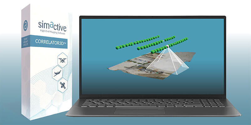
13th May 2020
Simactive - How to Perform Aerial Triangulation with Correlator3D