3G Vehicle Camera Footage Protects False Insurance Claims
11th May 2017
3G Vehicle Camera Footage Protects False Insurance ClaimsNews as it happens! Keep in touch with the latest developments in business and technology in the regions or worldwide.
11th May 2017
3G Vehicle Camera Footage Protects False Insurance Claims11th May 2017
Inmarsat and Actility deploy city-wide Internet of Things network11th May 2017
Tieto to develop IT systems and smart traffic services11th May 2017
Global software release from experienced solutions developer Maptek
10th May 2017
Leica Ready now offered on Liebherr dozers, excavators10th May 2017
Garmin® Dash Cam™ 65W arrives with a 180-degree field of view10th May 2017
Hemisphere GNSS Announces H328 OEM Positioning and Heading Board10th May 2017
Orbit GT and Gexcel, Italy, sign Reseller Agreement10th May 2017
Imajing provides ESRI users with online 3D enabled images
10th May 2017
Duke of Edinburgh's Award Entrusts SPOT and Mapyx10th May 2017
Eni to utilize Earth Observation satellite data and services10th May 2017
Blue Marble Releases Beta Version of Global Mapper Mobile for Android10th May 2017
Fugro Commences Mareano Survey For Norwegian Hydrographic Service9th May 2017
European satellite technology maps storms, pollution and marine safety9th May 2017
PCI Geomatics Now a Planet Ecosystem Partner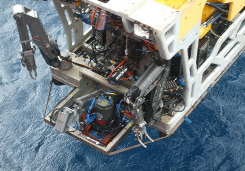
9th May 2017
2G Robotics and Sonardyne announce new collaboration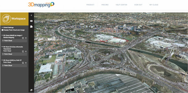
9th May 2017
Orbit GT updates 3D Mapping Cloud with faster Performance Measurements9th May 2017
Applied Streetview Selects Quarry One Eleven for Marketing9th May 2017
Get on the road with the new Wi-Fi® enabled TomTom VIA 53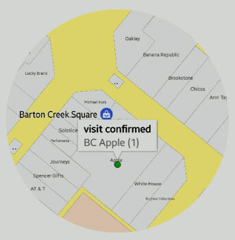
9th May 2017
sensewhere Launches Visit Confirmation Platform for Mobile Attribution