u-blox launches its first LTE Cat 1bis module with embedded eSIM for flexible and reliable connectivity management
19th November 2024
u-blox launches its first LTE Cat 1bis module with embedded eSIM for flexible and reliable connectivity managementNews as it happens! Keep in touch with the latest developments in business and technology in the regions or worldwide.
19th November 2024
u-blox launches its first LTE Cat 1bis module with embedded eSIM for flexible and reliable connectivity management
18th November 2024
Recording Available Now for the RIEGL Ultimate LiDAR November Webinar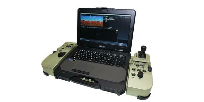
18th November 2024
UAVOS Releases Next-Generation Ground Control Station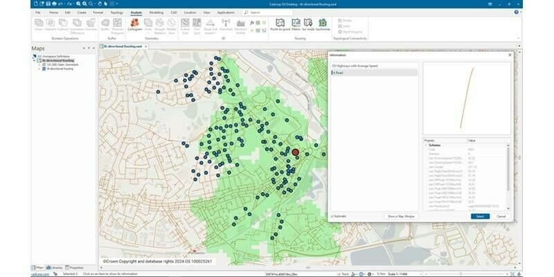
15th November 2024
Major updates to Cadcorp GIS software and cloud services in G-Cloud 14
15th November 2024
Hexagon launches HxGN Alix, its AI-powered assistant to help industrial enterprises digitally transform heavy asset operations
14th November 2024
Enhanced Security, Modernised Platforms, and New Features
14th November 2024
Topcon addresses world’s water insecurity through Wine To Water Filter Build event
13th November 2024
u-blox launches tri-radio module that delivers the latest wireless technologies for IoT implementations
13th November 2024
Trimble Announces 2024 Construction Innovation Award Winners
12th November 2024
Trimble Showcases New Artificial Intelligence Innovations During Dimensions User Conference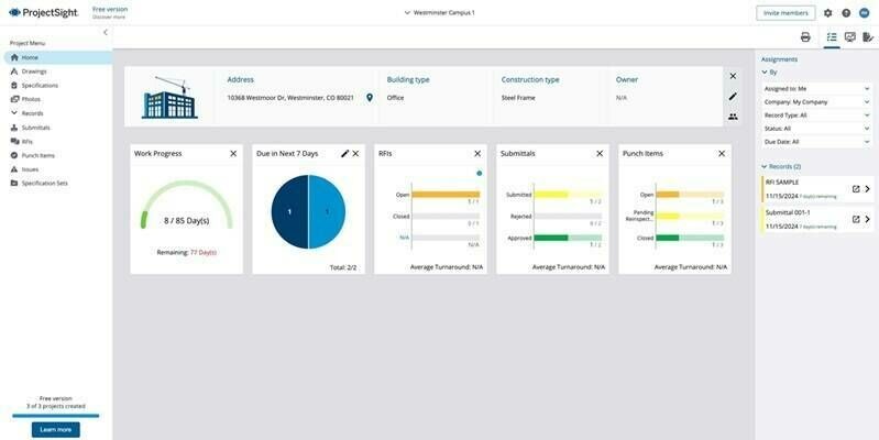
12th November 2024
Trimble Expands Access to Advanced Construction Project Management Capabilities with Free Version of ProjectSight Software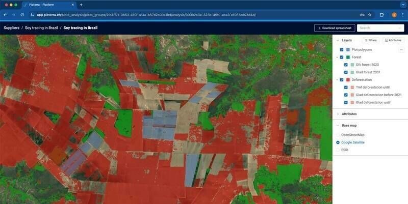
11th November 2024
Picterra launches new geospatial product to transform compliance, verification and sustainability monitoring
11th November 2024
Hapag-Lloyd Partners with HERE Technologies to Transform Global Supply Chain Visibility with Advanced Tracking Solution8th November 2024
CompassData Welcomes a New Senior Account Executive, Joshua Voelker, as They Celebrate 30 Years of Innovation
8th November 2024
Synspective Begins Full-Scale Operations at the Yamato Technology Center for Mass Production of SAR Satellites
7th November 2024
Vegetation Assessment Along Waterbodies Completed with SimActive
7th November 2024
NV5 Awarded $26 Million to Support Utility Grid Efficiency and Reliability Through Tech-Enabled Geospatial Services
6th November 2024
DIFC continues to drive global action in shaping greener economies – Announces 2nd edition of the Future Sustainability Forum in Dubai
6th November 2024
Cintoo Secures €37 Million in Series B Funding Round Led by Partech
6th November 2024
NSAI Launches Europe’s First Verified Global Navigation Satellite System Data Stream Service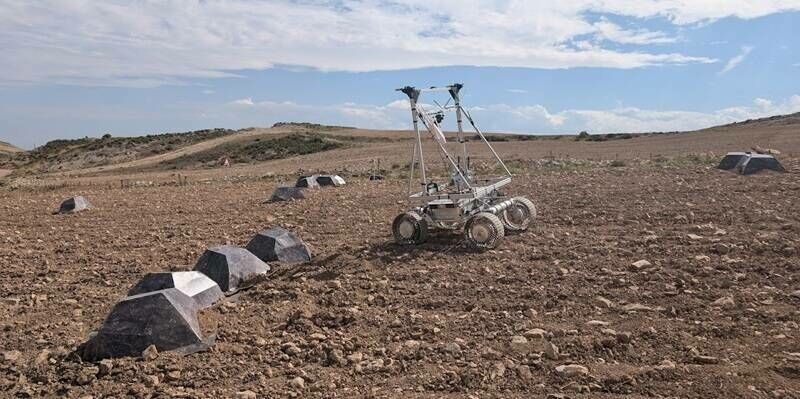
5th November 2024
GMV successfully completes the FASTNAV planetary exploration project
5th November 2024
Open Cosmos Expands Operations in Portugal
4th November 2024
Trimble Opens Technology Lab at Florida A&M University, Marking New HBCU Collaboration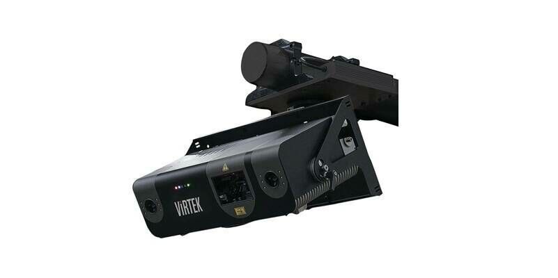
4th November 2024
AMETEK Acquires Virtek Vision International