
RIEGL Webinar Announcement: An Amazing LiDAR Expedition to Alcatraz – Through the Eyes of RIEGL Technology
24th April 2024
RIEGL Webinar Announcement: An Amazing LiDAR Expedition to Alcatraz – Through the Eyes of RIEGL TechnologyThe creation, visualisation and use of three-dimensional representations of real or virtual world terrains, surfaces, elevations and built objects
Three-dimensional models are used increasingly in the public and private sectors and in academic research to visualise and analyse real or virtual world features and objects. This topic encompasses the creation of 3D geometric models from captured spatial data and their use in applications that include architecture, construction, engineering, urban planning, city and infrastructure modelling, transport and utility network planning and management, asset management, entertainment film production, video gaming and the geosciences. Additionally, the topic covers the creation and use of 3D models that make use of Virtual, Augmented and Mixed Reality techniques
24th April 2024
RIEGL Webinar Announcement: An Amazing LiDAR Expedition to Alcatraz – Through the Eyes of RIEGL Technology
15th April 2024
Blackshark.ai SYNTH3D Terrain Data now available in VBS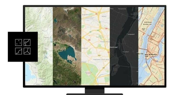
8th April 2024
Esri’s ArcGIS Basemaps Integrated into Autodesk Civil 3D and AutoCAD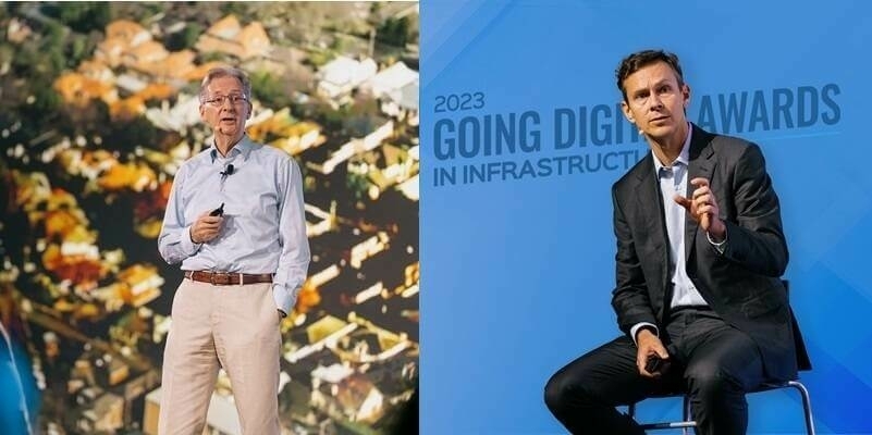
22nd March 2024
Marking its 40th Anniversary, Bentley Systems Announces CEO Transition Plan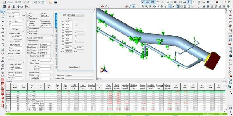
19th March 2024
Hexagon unveils CAESAR II Version 14: Enhancing piping analysis and hydrogen-readiness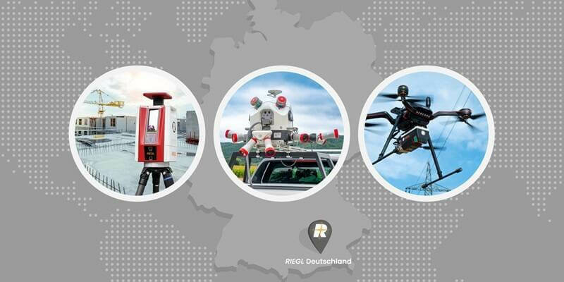
18th March 2024
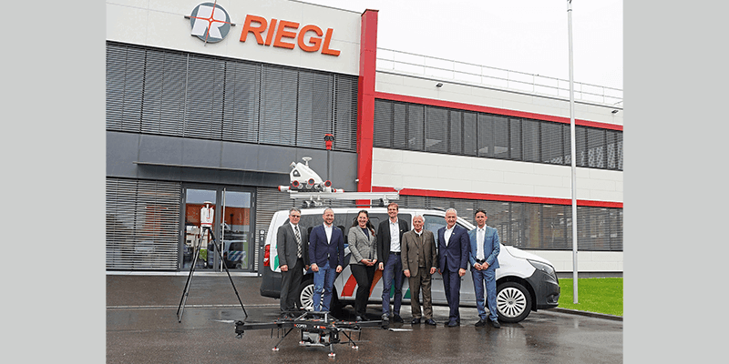
RIEGL Announces the Opening of a New International Office in Munich, Germany
15th March 2024
Bentley Systems Issues Call for Nominations for the 2024 Going Digital Awards in Infrastructure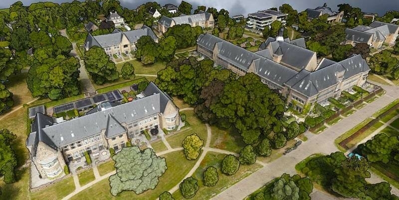
20th February 2024
SimActive Used for 3D Mapping from Oblique Cameras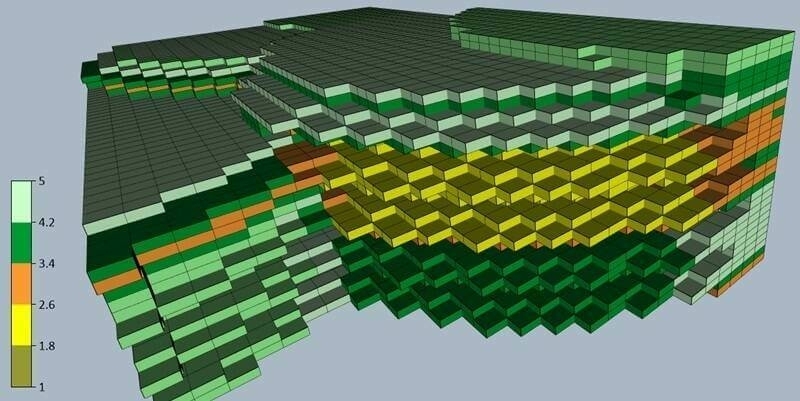
14th February 2024
Latest Surfer Mapping and 3D Visualization Package from Golden Software Gives Users Comprehensive View of Subsurface Data
5th February 2024
Matterport’s Digital Twin Platform Helps VRPM Design the Future of Modern Workspaces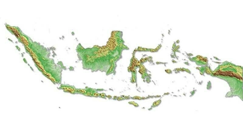
25th January 2024
Intermap Wins Major Indonesian Mapping Contract
22nd January 2024
Hexagon's R-evolution launches Green Cubes: a digital revolution for rainforest conservation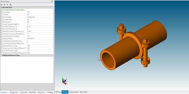
17th January 2024
Hexagon unveils PV Elite 26 with enhanced workflows, codes and connections for pressure vessel design, evaluation and analysis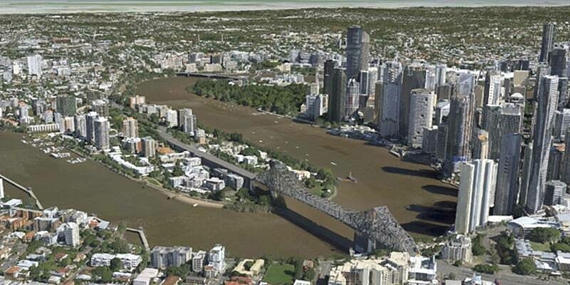
11th January 2024
Vexcel Announces 3D Models for Metro Areas Around the World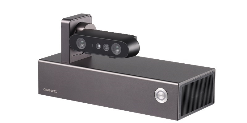
22nd December 2023
Orbbec releases Persee N1 camera-computer kit for 3D vision enthusiasts, powered by the NVIDIA Jetson platform
1st December 2023
blackshark.ai and Eagle 3D Streaming Team Up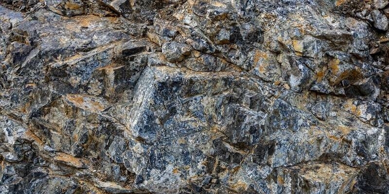
28th November 2023
Getech Supports Natural Hydrogen Exploration in Eastern Europe
21st November 2023
blackshark.ai Closes an Oversubscribed Extension to its Series A Round, totaling $35 Million, to Fast-Track Commercialization of its Unique GEOINT and 3D Mapping Technology
17th November 2023
AI-powered, Blood-donation Room Monitoring Project Wins the 2023 Enactus Brazil and Bentley Systems iTwin4Good Challenge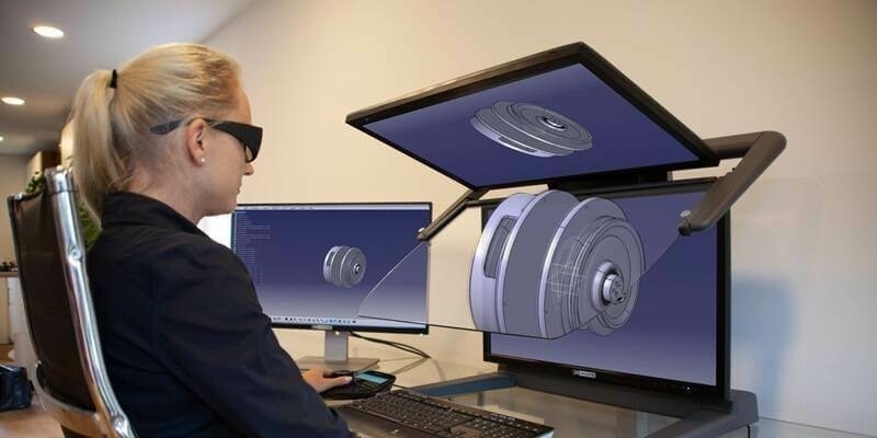
3rd November 2023
bp Selects AssetWise Lifecycle Information Management and AssetWise Reliability as Standard for Information Management and Asset Integrity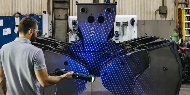
26th October 2023
Creaform Launches the New Truly Portable Metrology-Grade 3D Scanner for Large Parts HandySCAN 3D|MAX Series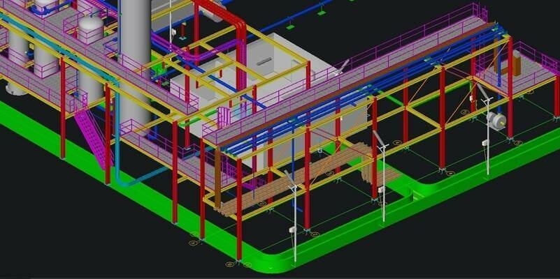
25th October 2023
Hexagon reaches heights with the launch of CADWorx Electrical & Instrumentation Design Suite
20th October 2023
Geo Week Seeking Nominations for the 2024 Awards Celebration
12th October 2023
Bentley Systems Recognizes the Year in Infrastructure 2023 as Groundbreaking for Infrastructure Intelligence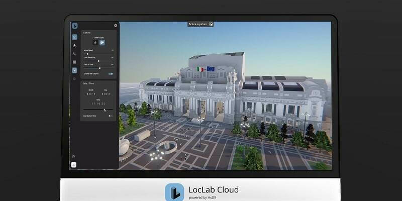
9th October 2023
LocLab makes digital twins more accessible with the launch of LocLab Cloud, powered by HxDR
2nd October 2023
Infrastructure Projects in Europe, Middle East, and Africa Named as Finalists in Bentley Systems’ 2023 Going Digital Awards in Infrastructure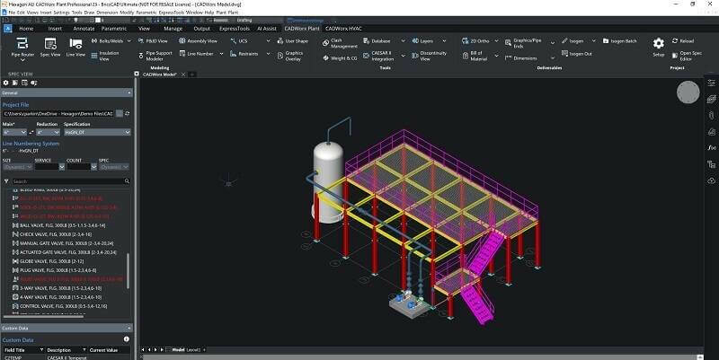
20th September 2023
Hexagon Announces the Release of CADWorx 23 Plant Design Suite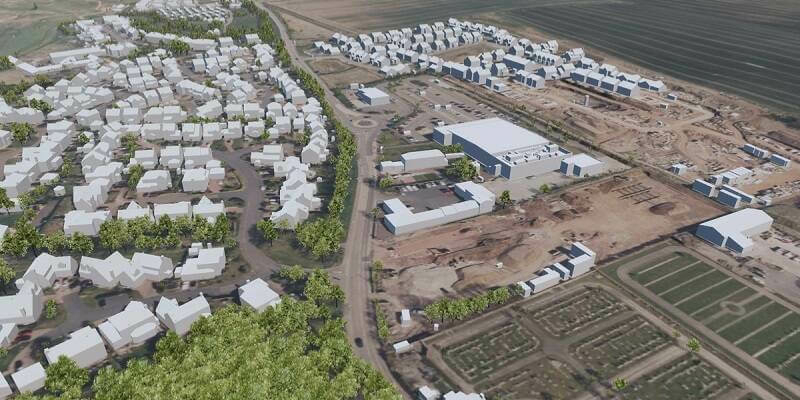
19th September 2023
MWH Treatment uses 3D Building Models from Bluesky to Drive Innovation in Water Sector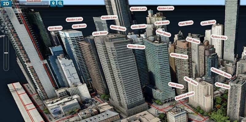
11th September 2023
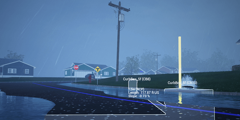
Carlson Introduces STEM Video Game: Hydrology Engineer
11th September 2023
Nomoko Joins the Overture Maps Foundation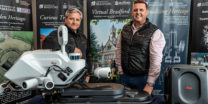
11th September 2023
‘First-of-its-kind’ mobile 3D mapping system will scan 2 million data points a second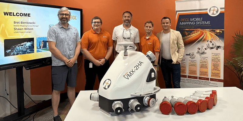
11th September 2023
Tetra Tech Expands Their RIEGL Mobile LiDAR Fleet
11th September 2023
Demonstrations Of The Riegl VZ-600i in Taipei and Hong Kong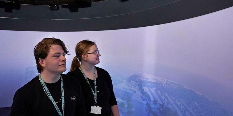
7th September 2023
Bluesky 3D Imagery Brings Global Warming Sea Level Rises to Life
31st August 2023
Bentley Systems Announces the Finalists of the 2023 Going Digital Awards in Infrastructure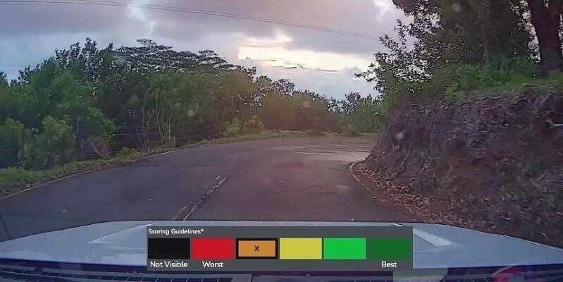
15th August 2023
Bentley Systems’ iTwin Ventures Acquires Blyncsy, Breakthrough Innovator in AI Services for Transportation Operations and Maintenance
8th August 2023
Khronos Launches ANARI 1.0 as the Industry’s First Cross-Platform 3D Rendering Engine Open Standard API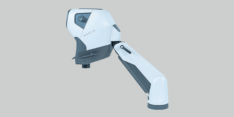
28th July 2023
Vision Engineering launches new version of its bestselling Mantis optical stereo microscopes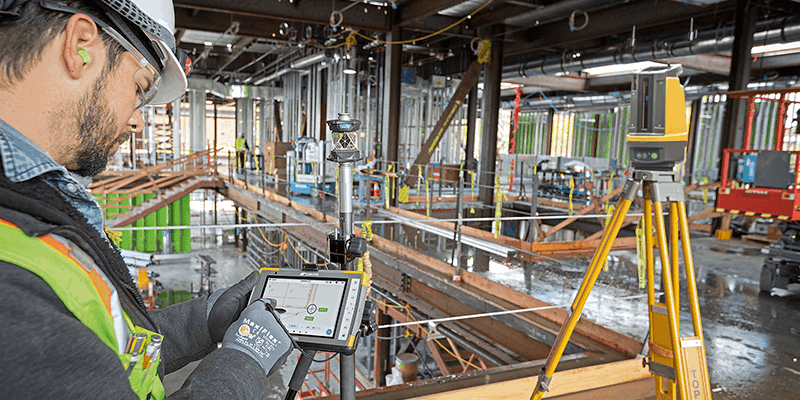
28th July 2023
Topcon launches easy-to-use Digital Layout software for fast-paced building construction industry
28th July 2023
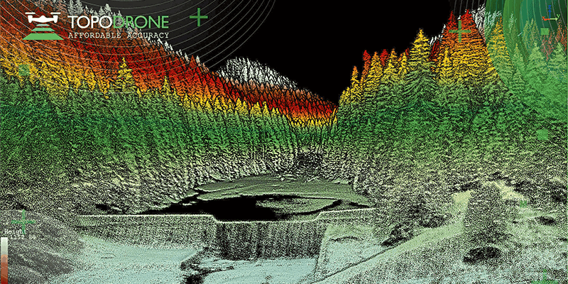
Topodrone to unveil a new lightweight 360° LiDAR model range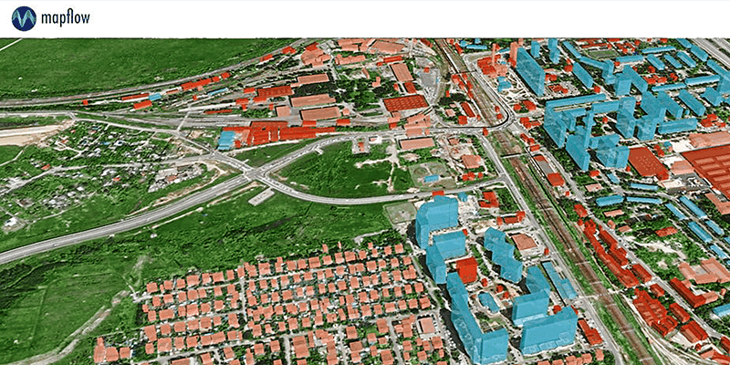
28th July 2023
GeoAlert releases new region-specific Building footprints AI models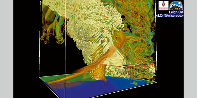
28th July 2023
Riegl LiDAR Technology for the Digital Twin Lab of Joanneum Research
7th July 2023
Bluesky Building Models Aid Planning for World’s Largest Cultural Hub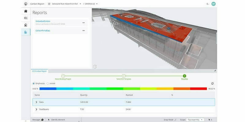
27th June 2023
Bentley Systems Announces New Capabilities for Carbon Assessment in iTwin Experience