NASA Sensor Produces First Global Maps of Surface Minerals in Arid Regions
3rd January 2024
NASA Sensor Produces First Global Maps of Surface Minerals in Arid Regions
3rd January 2024
NASA Sensor Produces First Global Maps of Surface Minerals in Arid Regions

31st December 2023
Launch of the Geospatial International Innovation Awards 2024
29th December 2023
GESTRA space radar successfully enters final test phase
26th December 2023
NASA flies drones autonomously for air taxi research
20th December 2023
Oceanography, seafloor mapping and satellite combine to map world’s strongest current
8th December 2023
Horizon Europe igniting innovative space downstream applications

1st December 2023
ASGARD: The ultimate response to maritime spoofing attacks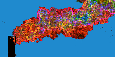
27th November 2023
AI detects methane plumes from space, could be powerful tool in combating climate change
9th November 2023
New AI system can map giant icebergs from satellite images 10,000 times faster than humans
30th October 2023
Spy satellites reveal hundreds of undiscovered Roman forts
19th October 2023
Ordnance Survey launches significant buildings and transport enhancements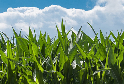
18th October 2023
Geospatial technology can help corn producers assess potential wind damage in fields

11th October 2023
Trio of Sentinel satellites map methane super-emitters
9th October 2023
Portable LiDAR scanner helps reveal undiscovered rooms in Sahura’s Pyramid
17th September 2023
Sentinel-1 reveals shifts from Morocco earthquake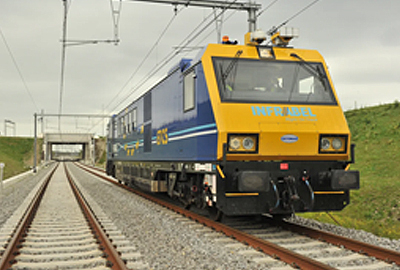
17th September 2023
All Aboard! Keeping Belgium moving with Topcon technology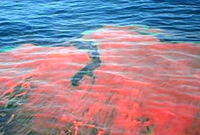

6th September 2023
W-Band Radar for Dynamic Positioning in the offshore renewable energy market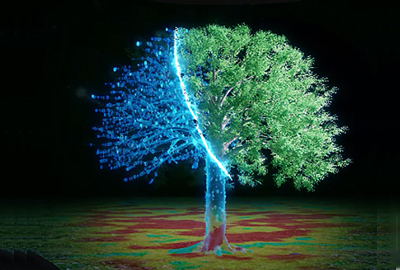
10th August 2023
Thermal imaging innovation allows AI to see through pitch darkness like broad daylight
8th August 2023
Roman road network spanning the south west UK identified in new research