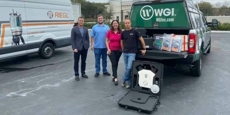
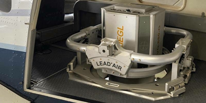
RIEGL USA Continues to Provide Mobile LiDAR Solutions to WGI
19th April 2022
RIEGL USA Continues to Provide Mobile LiDAR Solutions to WGI
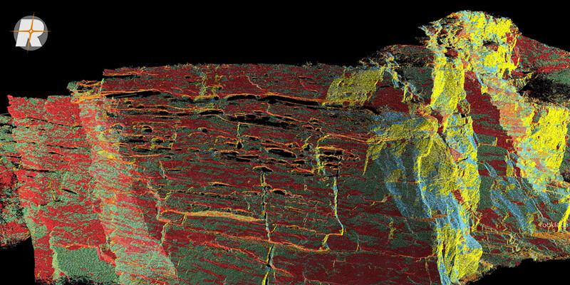
RIEGL is an international leading provider of cutting-edge technology in airborne, mobile, terrestrial, bathymetric, industrial and UAV-based laser scanning for applications in surveying.
RIEGL has been producing LiDAR systems commercially for more than 40 years and focuses on pulsed time-of-flight laser radar technology in multiple wavelengths.
RIEGL’s core Smart-Waveform technologies provide pure digital LiDAR signal processing, unique methodologies for resolving range ambiguities, multiple targets per laser shots, optimum distribution of measurements, calibrated amplitudes and reflectance estimates, as well as the seamless integration and calibration of systems.
RIEGL’s Ultimate LiDARTM 3D scanners and systems offer a wide array of performance characteristics and serve as a platform for continuing Innovation in 3D for the LiDAR industry.
http://www.riegl.com
+43 2982 4211
3580 Horn, Austria
1978
Terrestrial Surveying
Laser Scanning
Unmanned Aerial Vehicles
Surveying Instrumentation
Mobile Mapping
Archaeology & Heritage
Mining
Forestry
Disaster Management
Architecture, Engineering & Construction (AEC)
19th April 2022
RIEGL USA Continues to Provide Mobile LiDAR Solutions to WGI11th March 2022
ESO Surveyors Utilizing Vz-400i In Australian Cities
4th March 2022
Recordings Are Now Available For The Riegl Ultimate Lidar February 2022 Webinars1st March 2022
RIEGL VMX-2HA Mobile Mapping System in Use for greehill Urban Forest Car21st February 2022
MAPPS Geospatial Excellence Award Projects for spectacular NV5 and GEO1 projects16th February 2022
Riegl Announces Management Change To Riegl Canada3rd February 2022
RIEGL VZ-2000i used for permanent forestry monitoring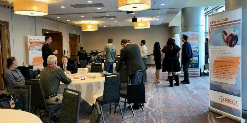
31st January 2022
Get the Inside Scoop and Join Us at GEO Week 2022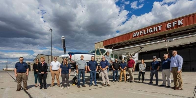
24th November 2021
RIEGL USA Signs New OEM Partner Agreement22nd October 2021
RIEGL VUX-120 UAV Wins the Geospatial World Innovation Award in Amsterdam15th October 2021
New RIEGL VQ-1560 II-S for RPS in Australia14th October 2021
Dewberry Acquires the Latest RIEGL VQ-1560 II-S Airborne LiDAR System
27th September 2021
RIEGL VUX-120 wins the Wichmann INTERGEO Innovation Award 202116th September 2021
Intergeo 2021 Live + Digital, September 21-23, 2021: Join RIEGL at booth 20C.22, Hall 20 or digitally1st September 2021
RIEGL to Exhibit and Present at Commercial UAV Expo Americas 2021
31st August 2021
RIEGL RiCAST: Driving Into the Unknown- Tunnel Surveying and Early Adventures in Mobile Mapping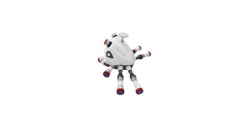
18th August 2021
NV5 Geospatial Expands Mobile Mapping Fleet with State-of-the-Art RIEGL VMX-2HA Platform
9th August 2021
Riegl’s Ultimate Lidar Webinar Series: August 2021
12th July 2021
Riegl Ricast: Forest Inventory By Means Of Laser Scanning Technology
8th July 2021
Recordings Are Now Available For The Riegl Ultimate Lidar June 2021 Webinars
18th June 2021
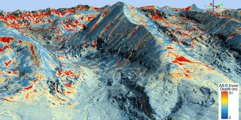
Airborne Snow Observatories takes delivery of the all-new cutting-edge RIEGL VQ-1560 II-S LiDAR System
14th June 2021
RIEGL RiCAST: The Sky is Not the Limit with RIEGL’s VQ-840-G
26th May 2021
Riegl's Ultimate Lidar Webinar Series: June 202121st May 2021
RIEGL’s RiPROCESS 1.9 with RiUNITE: A New Standard of Speed and Data Compression in Processing Kinematic Data
14th May 2021
RIEGL RiCAST: Miranda and RIEGL’s International Virtual Conference Day
7th May 2021
Riegl Ricast: One Point Cloud At A Time- Extracting Value From Points
26th April 2021
Riegl Ricast: Scan And Deliver – The New Vux-120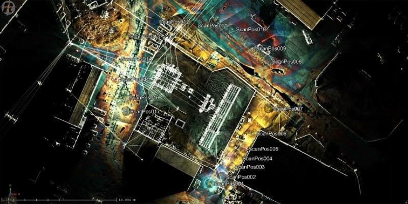
12th April 2021
Recordings Are Now Available For The Riegl Ultimate Lidar March 2021 Webinars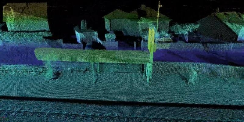
9th April 2021
New Playlists for Spanish and Portuguese Videos on RIEGL Youtube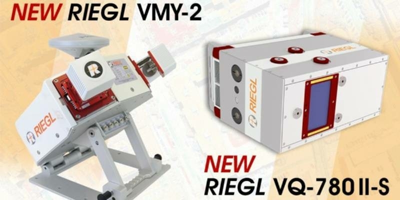
23rd March 2021
RIEGL Announces NEW Products in the ALS and MLS Sector18th March 2021
Riegl’s Ultimate Lidar Webinar Series: March 202114th March 2021
Riegl Ricast: Increasing Productivity With Riegl’s Vz-400i Ultimate Lidar Scanner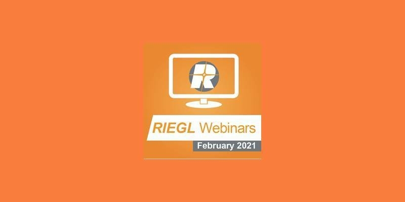
4th March 2021
Recordings are Now Available for the RIEGL Ultimate LiDAR February Webinar Series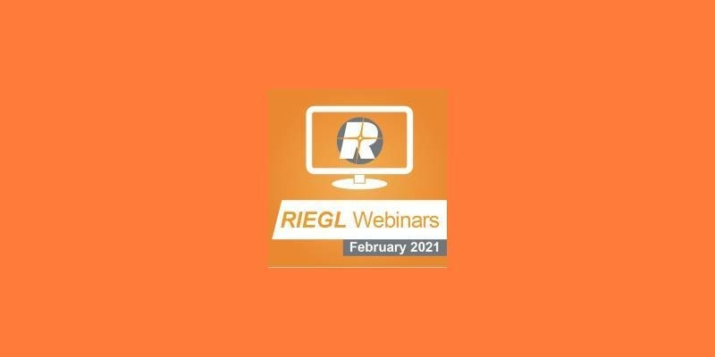
9th February 2021
Riegl’s Ultimate Lidar Webinar Series: February 20215th February 2021
Recordings are Now Available for the RIEGL Ultimate LiDAR January Webinar Series24th January 2021
Easy-to-use, Intuitive Mining Apps for Autonomous Data Acquisition and Processing
11th January 2021
Riegl’s Ultimate Lidar Webinar Series And More: January 202111th December 2020
RIEGL announces expansion of their network of dedicated RIEGL offices: New RIEGL office in UK opened10th December 2020
Surface Extraction and Analysis from RIEGL Laser Scan Data8th December 2020
RIEGL RiCAST- The New RIEGL VUX-120: Your Ultimate LiDAR System for Corridor Mapping and Utilities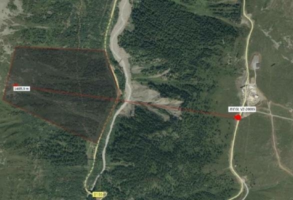
18th November 2020
Technotes: Case Study- Geomonitoring With Riegl VZ-2000i

5th November 2021
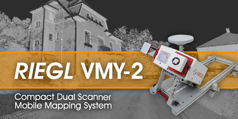
RIEGL - VMY-2 Dual Scanner Mobile Mapping System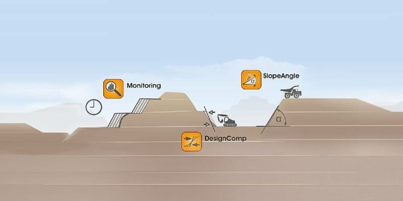
2nd December 2020
Surface Extraction and Analysis from RIEGL Laser Scan Data
29th October 2020
RIEGL VUX-120 UAV LiDAR Sensor for Corridor Mapping